

This page has been moved to here
Sutherland Shire and Lady Robinsons Beach

The Cooks River trail continues from Wolli Creek down around Muddy Creek and then it arrives at the end of the river at Kyeemagh. This is the start of Lady Robinsons Beach. Its cycleway all the way to way to the Sutherland Shire and Cronulla and is one of the great places to ride a bike in Sydney. Road cyclists love riding to


Brighton le Sands and Botany Bay
This page has been moved to
Sutherland Shire and Lady Robinsons Beach
The Cooks River trail continues from Wolli Creek down around Muddy Creek and then it arrives at the end of the river at Kyeemagh. This is the start of Lady Robinsons Beach. Its cycleway all the way to way to the Sutherland Shire and Cronulla and is one of the great places to ride a bike in Sydney. Road cyclists love riding to


Cronulla


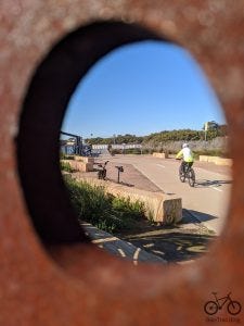

Kurnell
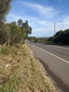


Cronulla to Kurnell – this is the path on the edge of the road External Links: Sutherland Shire Council Cycling Page Walking tracks at Kurnel near Cronulla
Shark Park to Miranda Shops
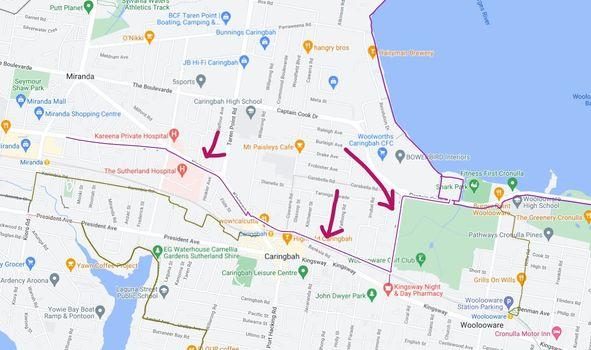
Shark Park to Caringbah Station and then to Miranda

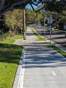
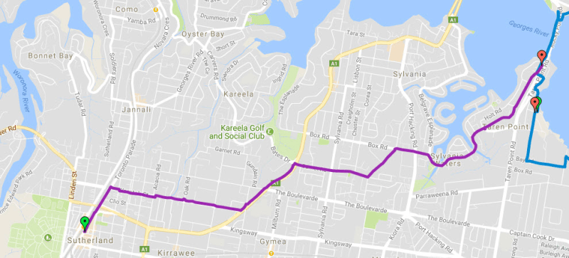
Sutherland to Taren Point
This page has been moved to here
Sutherland Shire and Lady Robinsons Beach
The Cooks River trail continues from Wolli Creek down around Muddy Creek and then it arrives at the end of the river at Kyeemagh. This is the start of Lady Robinsons Beach. Its cycleway all the way to way to the Sutherland Shire and Cronulla and is one of the great places to ride a bike in Sydney. Road cyclists love riding to
See pics of trail from Sutherland to Taren Point
You made it to Captain Cook bridge. Cross on the LHS
External Links: Sutherland Council Map on this trail here Extensive safe Woronora cycling starts at Sutherland and you can read about this below
Cronulla to Sutherland
The trail from Cronulla to Camillia Gardens via Burraneer Park involves back streets and some rustic shared paths, roads. Here is the route, according to the sources:
You will start in Cronulla and go under the railway line using a tunnel at the North end of the station. Then head west past Tonkin Oval and the Bundeena Ferry Wharf up Deeban Walk. Turn left at Gunnamatta St and right at Cross St. Follow that to Dominic Street
The route then takes you through Burraneer Park. Avoid the steps on Dominic Street by using Burraneer Park. The steps and the resulting dead end are reasons why Dominic Street and Northcote Avenue are relatively quiet east-west streets.
You will then continue on paths and back roads heading west from Buraneer St towards Camillia Gardens. There are cafes and shops at the end of Northcote and a good toilet block in Castelnau Street Reserve.
After Camillia gardens, you need to jump on a footpath on Presidents Avenue. Follow the Olive green line on the map >>
All the Photos from Cronulla to Sutherland via Gymea in an album here


This trail is important as it is part of the Greater Sydney Bike Trail

Woronora


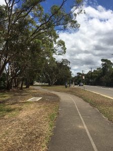


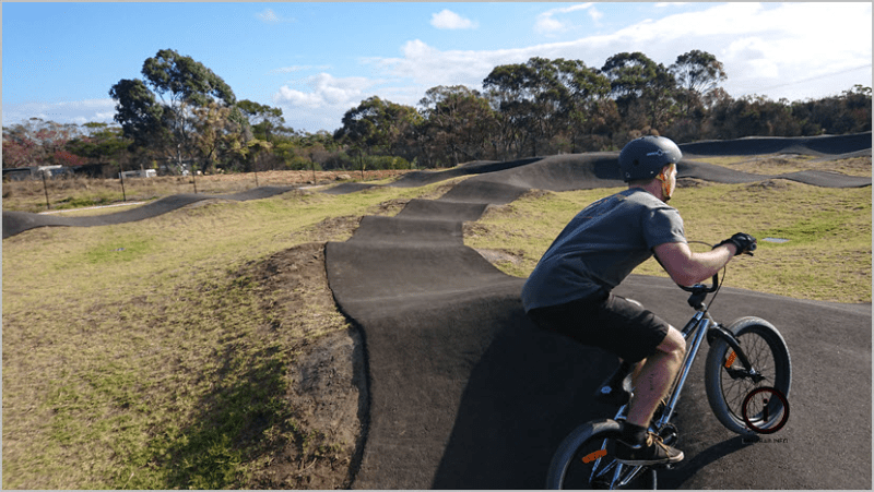
Bardon Ridge to Illawong Bardon Ridge is good because its pretty flat all the way to Menai then Bangor Shopping Center and to the beginning of the hill down to Illawong. The other good thing about Bardon Ridge is that it has a very modern pump track to exhaust the teenagers. Here are the pictures of the ride from Menai. See trail on map here >>
Como to Woronora Township This way is all roads to Woronora and steep. OK on a Sunday. 30 second video
Otherwise
See also Can you beat the train from Carringbah to Bondi Junction or Sans Souci to Oatley and more The big shared path ride in the Woronora area is Sutherland to Riverwood thru Menai (20km one way). There is also a detour in Menai to Barden Ridge. The other great riding spot is Como bridge to Oatley Park.