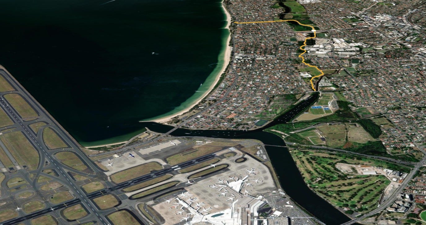
Ride 29 is an absolute cracker. Unlike many of the rides on the CycleSydney map where we travel towards the city, we are describing this one riding south away from the urban center. After sweeping around Sydney Airport and passing Barton Park, you will discover a continuous “green spine”. Opened in late December 2025 as part of the M6 Stage 1 active transport links, this 3.6 km off-road pathway replaces hazardous on-road rides, offering a seamless, nature-focused connection from scenic Muddy Creek down to Monterey and Botany Bay. Let’s cycle! 🚲
Distance: 3.6 km, 15 minutes to ride and 4m of climbing 😊
Ride Terrain: Mixed wide concrete cycleways, plastic-gridded boardwalks, red-railed bridges, and quiet suburban connections.
📍 Here are the maps and files for this ride:
RideWithGPS: Cooks Ride 29 (Download the ride GPX here)
RideWithGPS Collection: Cooks River Series
Network View: On the CycleSydney Map
🚴♂️ Ride Breakdown
Barton Park & Crossing Bestic Street
Your journey begins at the southern edge of Barton Park, which features tennis courts, outdoor gyms, and wide, gridded recycled-plastic paths spanning over the mangroves. As you reach Muddy Creek—traditionally where cyclists turn around to head back toward the historic Kyeemagh Market Gardens—our ride pushes straight ahead.
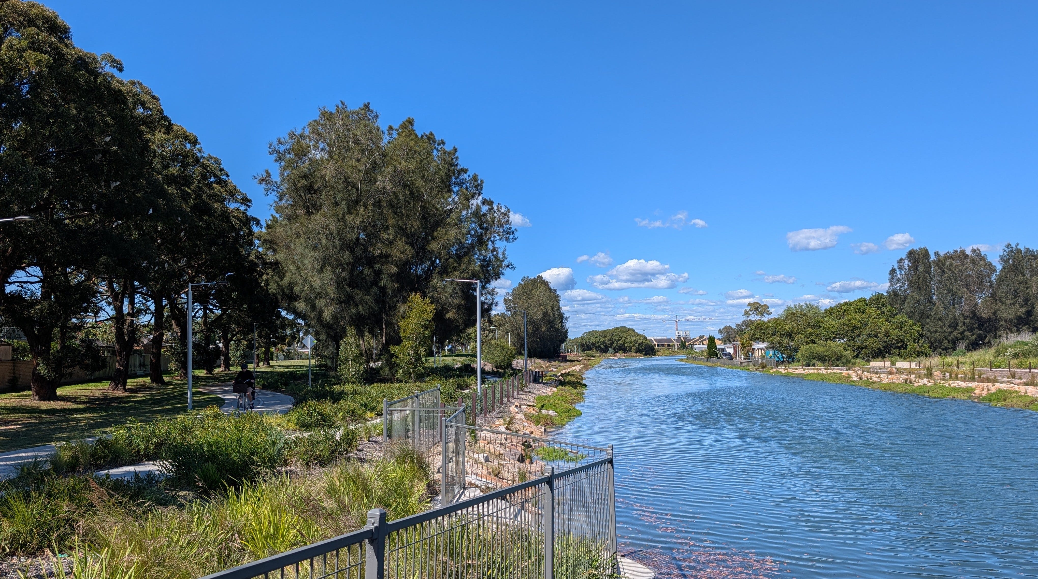
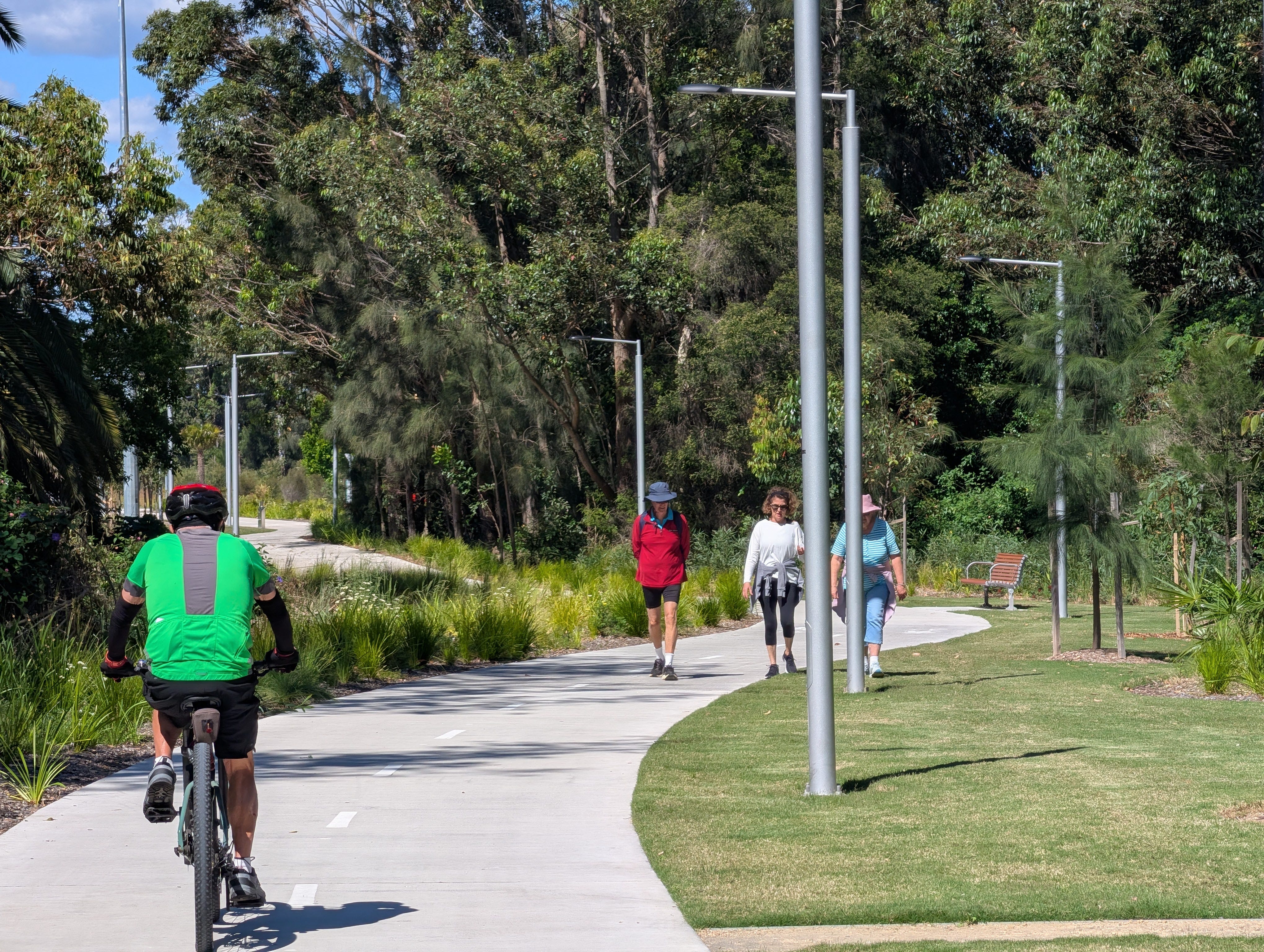
You will cross Bestic Street via a central refuge island crossing. South of Bestic Street, Muddy Creek was once an unsightly concrete drainage channel rather than the creek it was in centuries yor. It has now been transformed into a naturalized waterway framed by embedded sandstone blocks and lush creek grass. The main cycleway wiggles along within 20 meters of the water for a km or so, offering a far more dynamic experience than a straight path.
Muddy Creek Path to Bay Street
Rolling along the winding trail, you will pass the Shirley Tourist Caravan Park across the water—a rare sight in suburban Sydney. On the east side you roll past the local Rugby Union fields, you’ll spot an offshoot shared path >> heading west toward Rockdale. This side-track connects to netball courts, a skate park, soccer fields, and the popular Kajaga play park.
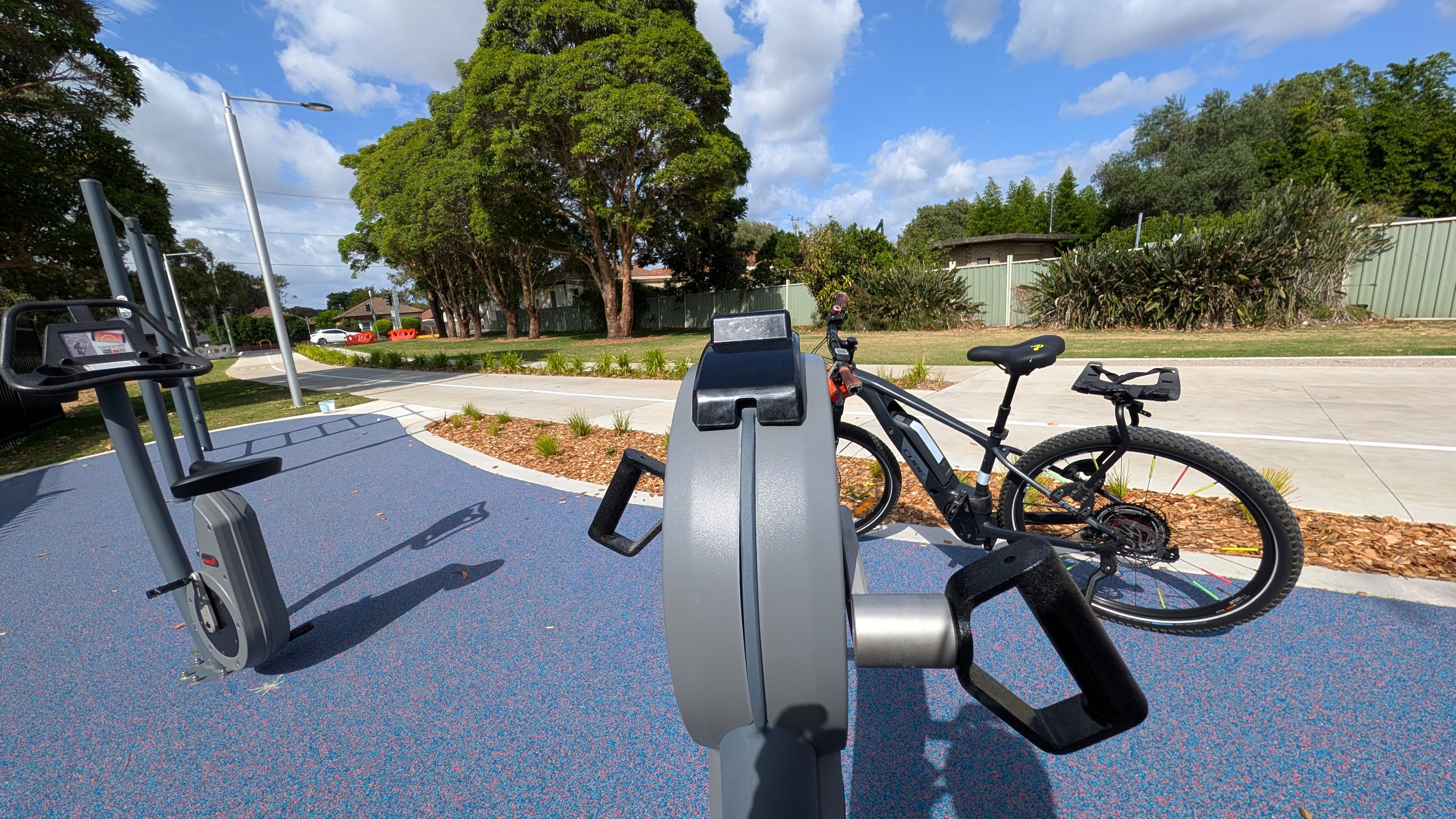
Continuing south, the path crosses Bruce Street behind a local secondary school before arriving at Bay Street. Here, you cross at dedicated combined pedestrian and cyclist signals. Right by the crossing, you’ll even find a shoulder-stretching hand grinder wheel if you need a quick stretch mid-ride.
Bicentennial Parklands & The M6 Tunnel Cave-In Story
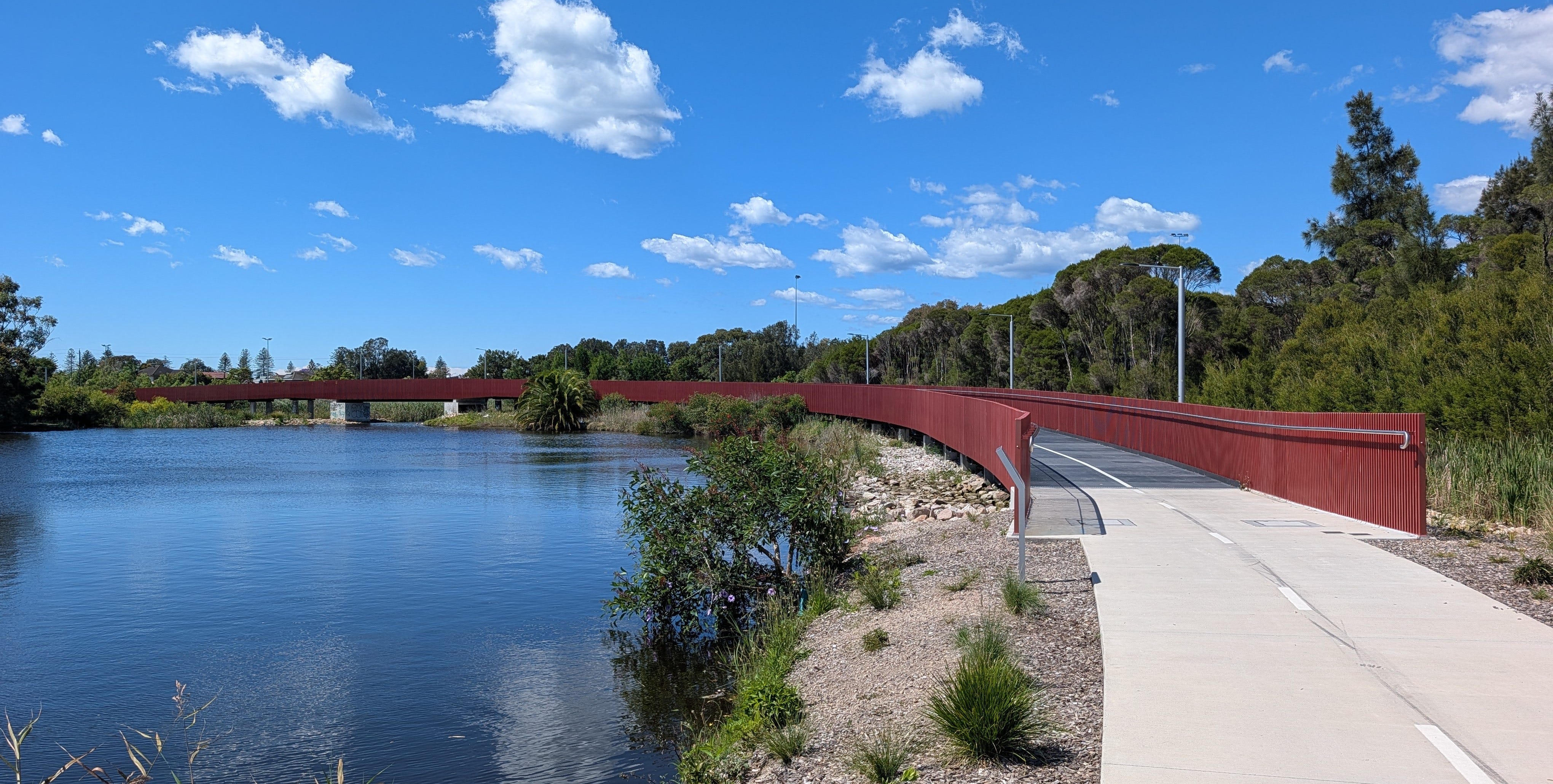
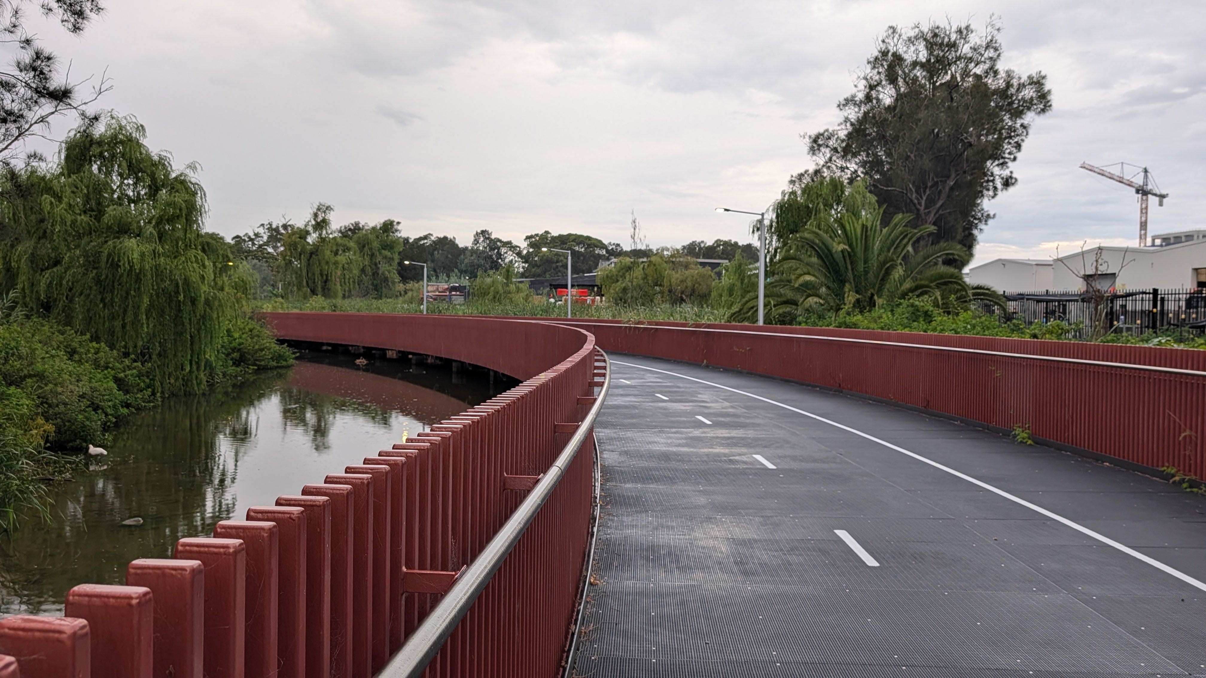
After crossing Bay Street, you roll over the first major bridge featuring distinctive vertical red safety railings, spanning remnant swamps and new wetland plantings. You are now entering Bicentennial Parklands, home to a almost continuous lake, pond and park system that stretches all the way to Sandringham.
This section carries a backstory. Officially designated by politicians as the “M6 Stage 1 Shared Pedestrian Cyclist Pathway,” the project hit a major snag when a massive motorway tunnel cave-in occurred 400 meters away, halting underground motorway construction for over two years. To the immense credit of the cycle and walking trail builders, they finished the cycleway regardless. Trust me, cycleways finishing first doesn’t happen much in Sydney. Because of the ongoing legal discussions around the tunnel, there were no official ribbon-cutting ceremonies or politician photo-ops—the path simply opened quietly for local riders inc. CycleSydney.
As you navigate through Bicentennial Parklands, you’ll see rain-catching ponds, rice-paddy style water ledges, LED strip lighting on the bridges, and lots of native plants.
President Avenue Bridge & Scarborough Park Boardwalks
Next comes a climb up the gentle curved ramp of the splendid new bridge over President Avenue. Resembling the infamous Tibby Cotter Bridge in Moore Park (but featuring a single circular ramp segment), this wide bridge keeps cyclists elevated above heavy traffic that one day will include tunnel traffic.
Descending on the south side of President Avenue brings you into Scarborough Park. Here, you glide across low elevated boardwalks over the wetlands, built with rustic red posts and heavily bolted, super-wide recycled plastic decking. The path ends at an local archery field before delivering you onto Chuter Avenue and O’Connell Street. From here, a quick connection leads down Robinson Street—named after Garry Robinson, creator of CycleSydney—where a signalized crossing over Grand Parade takes you directly onto the Brighton-le-Sands coastal shared path along Botany Bay.
Very First Morning the President Avenue Bridge Opened
💡 Local Secret
The Lasso Loop: Rather than riding down the Botany Bay coast and back along the exact same path, South Ride 29 creates a perfect “lasso loop”. You can ride south around Sydney Airport, follow Muddy Creek down to Monterey, and return along the Brighton-le-Sands beachfront for some sandy beaches and wildlife masquerading as sculptures.
🏁 Final Encouragement & Ride Safety
South Ride 29 is a triumph of active transport infrastructure and a finalist in a fantastic year of infra, turning a former concrete drain, sporadicaly maintainted public land and a motorway construction site into a tranquil, wildlife-filled green corridor. Whether you’re commuting to Kogarah or Ramsgate or taking a leisurely family ride down to Botany Bay, this ride is a must-try.
3D Visualisation of Ride 29 from Barton Park to Monteray
🔗 Ride Extensions & Related Trails
Brighton-le-Sands & Botany Bay: Connect directly at Grand Parade to head north to Kyeemagh or south toward Ramsgate and Sans Souci.
Rockdale & Kogarah Link: Turn west at President Avenue after the bridge to reach Kogarah Station.
Greater Sydney Bike Trail: Use Muddy Creek to trim a kilometer off your monster 150km+ journey. Read about the GSBT here
📍 Ride safe: These maps are just digital breadcrumbs from my personal rides. Infrastructure changes, so trust your eyes over the screen. Disclaimer and About page