

This ride provides a flat, picturesque, and highly popular coastal journey from the southern edge of Botany Bay all the way to Tempe on the Cooks River Trail. Linking a massive bridge crossing, historic netted baths, beachfront cafes, and hidden urban market gardens, it’s one of Sydney’s absolute cycling treats. Lets cycle 🚲
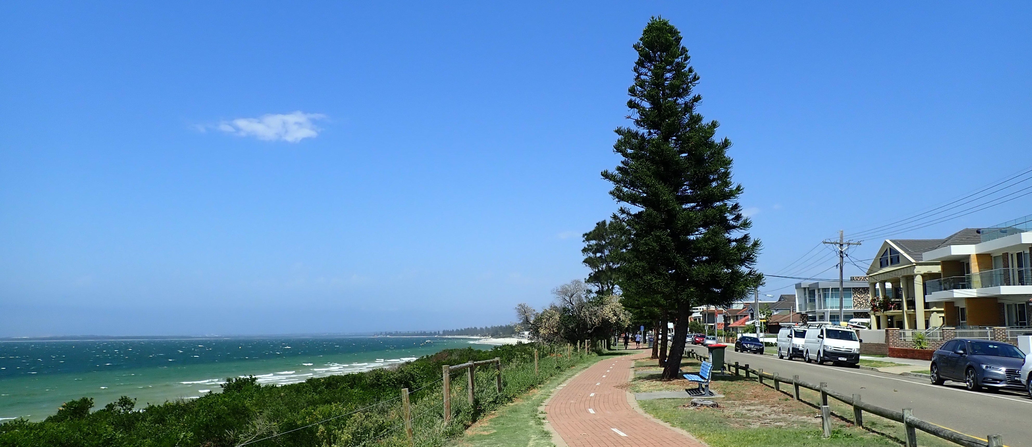
Crossing the Big Bridge and Finding the Bay: Captain Cook Bridge to Doll’s Point
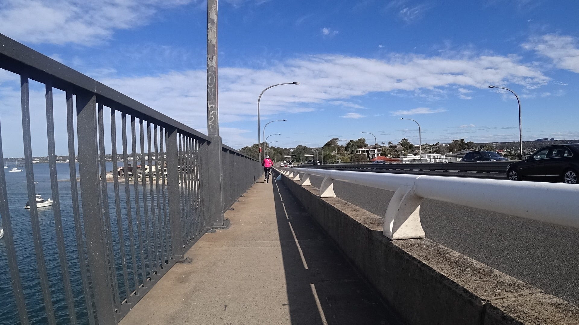
This ride begins at Captain Cook Bridge and heads north towards the city, keeping with the usual CycleSydney rule of heading toward major centres. For most weekend riders, however, this is part of a popular out-and-back route from the city, turning around at Monteray or near the bridge.
To start, you’ll need to cross Captain Cook bridge. There are two ways to tackle this: you can ride on the left (the western side) or the eastern side. We recommend the western side because riding on the eastern side means you’ll come very close to the southbound cyclists on the narrow bridge pathway.
Once across, you’ll roll onto the cycleways that hug the edge of Botany Bay. At first, the path can be quite sandy and there’s usually a lot of foot traffic on Riverside Drive. Because of the walkers, some riders prefer to jump on the road for this stretch. About 800 metres up, you turn off Riverside Drive and onto a reasonably wide, dedicated path.
This path takes you past Vance Stone Baths. It’s easily one of our favorite netted swimming holes on Botany Bay. If you peer into the water, you might spot some large grey fish with very pointy fins patrolling the perimeter—they’re a great reminder of why those nets are there and why it’s a good idea to stay inside them!
From the baths, follow the bay past the Georges River Sailing Club, where you’ll veer right around Cooks Park and end up at Doll’s Point.
🗺️ See the RideWithGPS here See the Southern Sydney Collection here
And on Google MyMaps >>
Red Bricks and Bacon Rolls: Dolls Point to Brighton-le-Sands
At Dolls Point, the cycle path transforms into a distinct red-brick path. We follow this brick pathway under the gorgeous canopy of Pine Park towards Ramsgate. Ramsgate offers another lovely netted swimming area and a handful of excellent cafes right on Ramsgate Road.
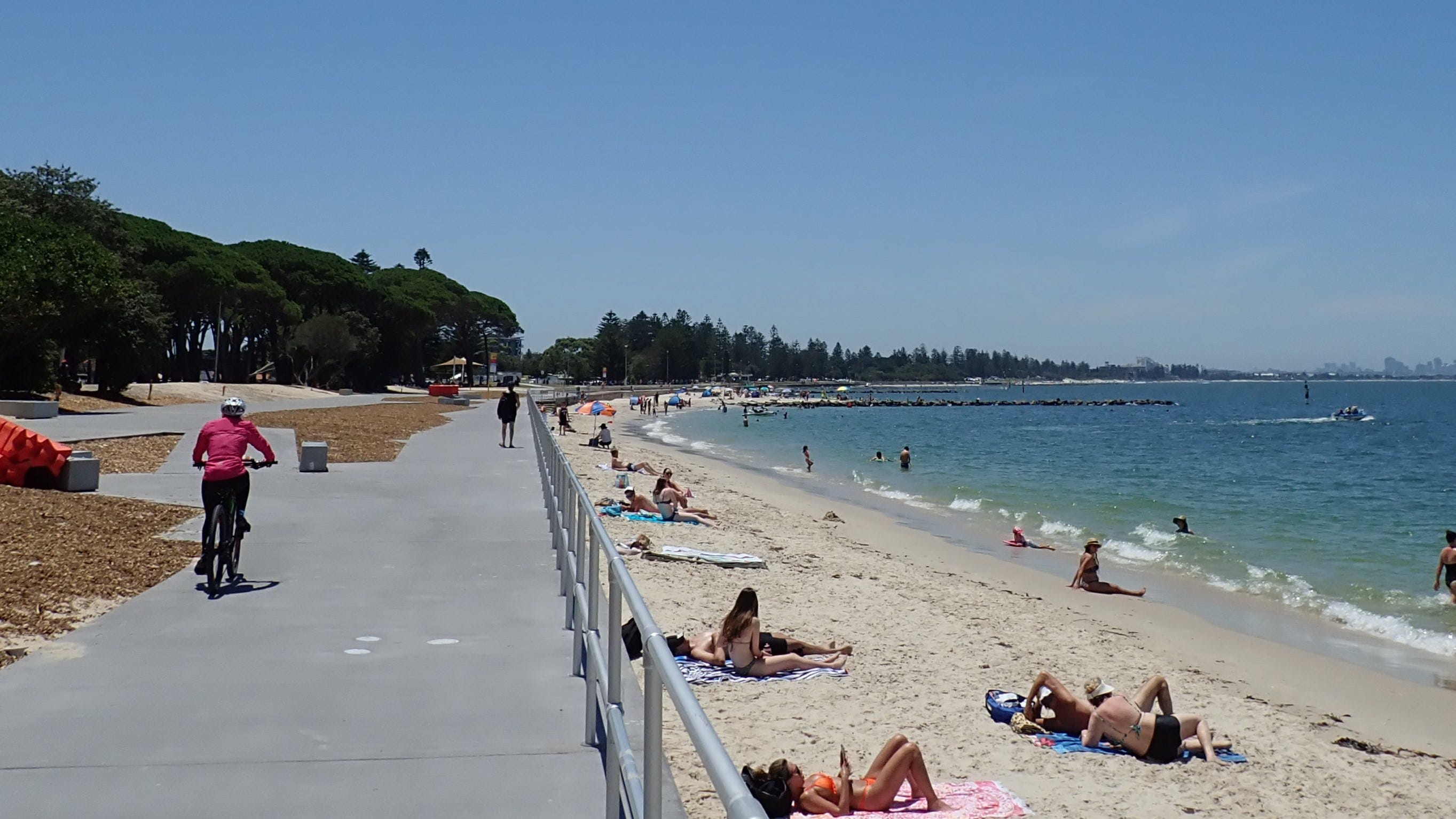
Keep following the red bricks along the shoreline through Monterey Beach. As you approach Brighton-le-Sands, the foot traffic here can become absolutely overwhelming—especially around 10:30 AM on a sunny Saturday. If you’re here at peak hour, expect to slow right down.
Brighton-le-Sands is a classic and highly popular pitstop. There’s a fantastic beachfront cafe right on the sand next to another netted baths area, making it the perfect spot to park the bike and refuel with a coffee and a bacon and egg roll.
Local Secret: If you’ve already ridden the beachside bricks many times and want a change of scenery, look out for Robinson Street at Brighton-le-Sands. Heading down Robinson Street connects you to a brand new, dedicated path that runs along Muddy Creek—it’s a brilliant alternative ride that will become South Ride 29 !
The Hippo, the Crab and Hidden Gardens: Kyeemagh to Muddy Creek
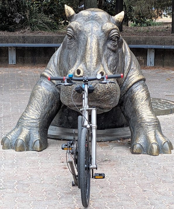
If you stick to the coastal bricks, follow them along the edge of the Grand Parade all the way to Kyeemagh. On the way, you’ll find a wide grassy park featuring a giant steel sculpture of a crab and a giant Hippo climbing out of a drain. They are local icons and a must-stop for a quick photo.
At the end of Kyeemagh Park, turn left to follow the path along the Cooks River. You’ll pass a boat ramp, some clean toilet blocks, and wind your way around the local hockey fields.
Then comes one of the highlights of the entire ride: the Chinese Market Gardens. Finding these historic, flourishing market gardens thriving in the middle of a bustling, modern city is a spectacular treat. Take your time rolling past the neat, green rows of crops.


Elevated paths and subterranian M5: Muddy Creek to Tempe
At the end of the market gardens, you’ll arrive at Bestic Street. Ride down Bestic Street for about 100 metres before picking up the path on the other side of Muddy Creek. It feels a bit like you are retracing your wheels on the opposite bank.
From here, the route takes you through the newly upgraded Barton Park via some fantastic, brand-new elevated cycleways. You’ll follow the path as it snakes around the back of the local golf course. Admittedly, the back of the golf course isn’t the most scenic or pleasant stretch of the ride, but it’s completely off-road, so we can’t complain! 3rd Place Sydney Cycling Infra Awards 2025
Next up is a short, twisty section that takes you directly underneath the roaring lanes of the M5 Motorway. Its going to be updated one day, just not tomorrow.


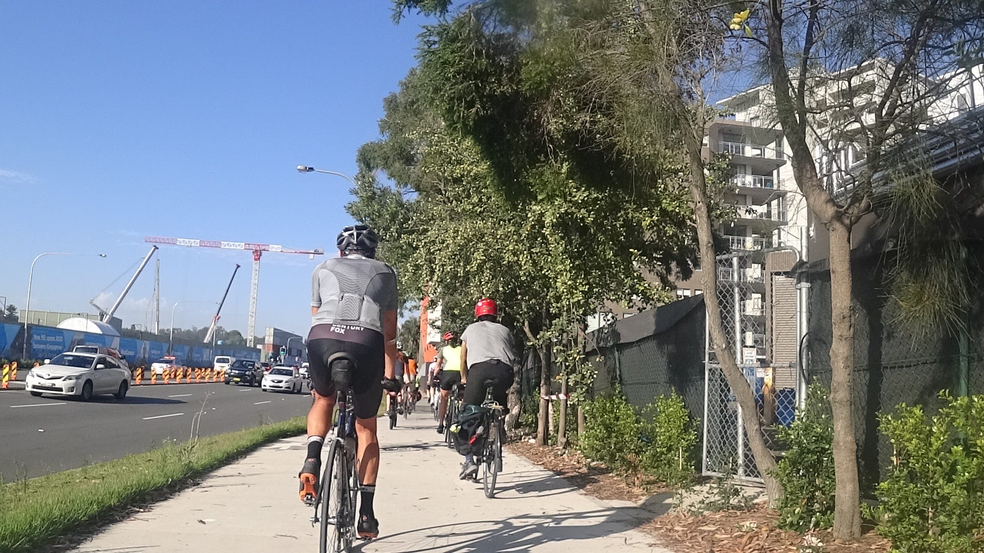
When you pop out onto Marsh Street, things get pretty ugly for about four blocks. This is a busy, high-traffic zone where you have to stop and start constantly while watching out for cars coming from all directions. Our advice? Don’t try to rush the traffic lights here; take your time and stay safe.
Once past the Marsh Street gauntlet, the path leads you into the peaceful gardens along the Cooks River. Follow this path to the left, rolling past Cahill Park.
Finally, cross the Cooks River via the shared path on the Princes Highway bridge, and you’ll arrive at your destination in Tempe—marking the end of an incredible 14 km coastal and creek cruise.
Lets check the 3D Ride video starting at Captain Cooks Bridge
Ride 22 Tips:
Timing is Everything: Just like the Iron Cove Loop, Lady Robinsons Beach is incredibly popular. If the weather is nice on a weekend morning after 8:30 AM, expect heavy walking, jogging, and pram traffic on the red bricks. For a faster, uninterrupted run, aim for a weekday or a very early weekend morning.
Family Tip: The stretch from Captain Cook’s Bridge to Kyeemagh is completely off-road and mostly dead-flat, making it fantastic for kids. Just be sure they can hold a line, ring their bells, and always give way to pedestrians.
Road Bike: If you’re on a high-speed road bike, the red bricks aren’t the place for a time trial. Many road cyclists opt to ride on the adjacent General Holmes Drive instead—but be warned, it is an extremely busy main road. If you stick to the path, keep your speed down and respect the walkers.
Extensions
If you want to keep the legs spinning, you can easily connect directly to the Cooks River Trail at Tempe and follow it upstream towards Wolli Creek and beyond. Alternatively, you can cross back over Captain Cook’s Bridge at the start and head south towards the spectacular beaches of Cronulla.
This trail is part of the popular 220km GSBT
Paid Subscriber Photos and Videos
Unlock the rest of this post and simple see more photos and videos to inspire you to ride this terrific path.
