

This is a classic North Shore ride that starts up in Chatswood and weaves its way down through hidden rail trails, quiet residential backstreets, and green parklands before tackling the climb out of Flat Rock Gully into North Sydney. We’re actively avoiding the worst of the main road traffic by utilizing dedicated cycleways, underpasses, and community-won shared paths. Let’s cycle! 🚲
🗺️ See the RideWithGPS trace in the North Side Collection or View ride from Chatswood to North Sydney in our Sydney Google MyMaps collection. The ride is 6.6 km, has an elevation range of 50m and takes a little over 27minutes at 15kmph

Rail Trails, Cricket Pitches & Roundabouts: Chatswood Station to Devonshire Street
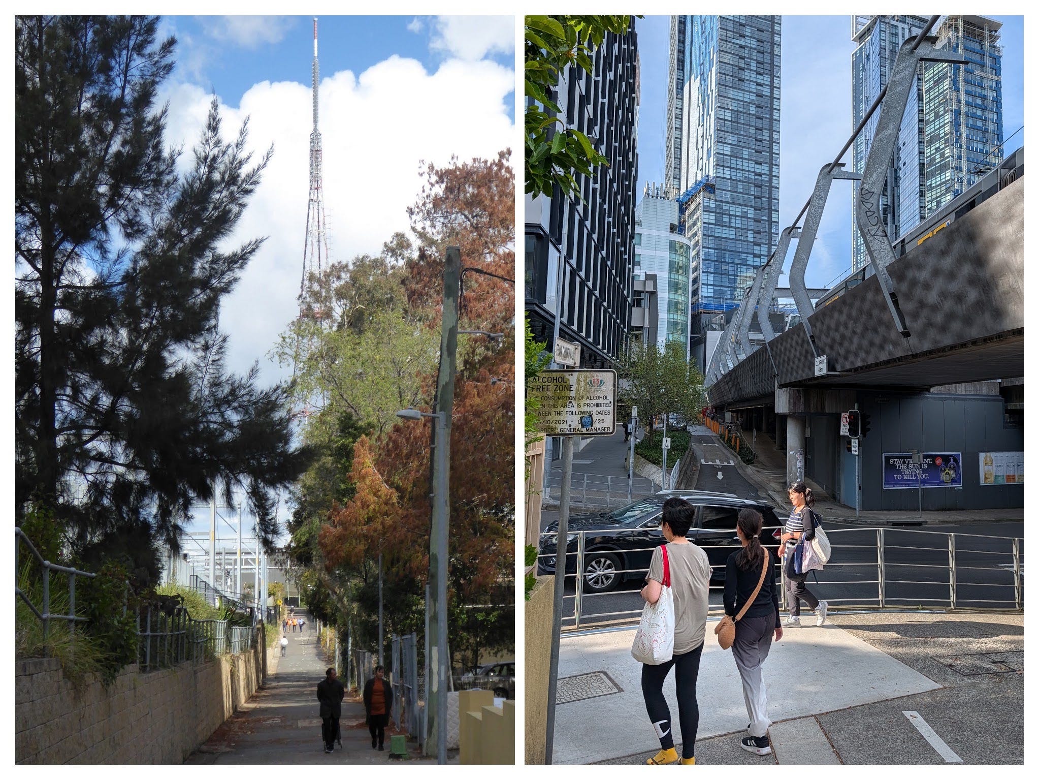
We kick this ride off on the Pacific Highway near Albert Avenue, right near Chatswood Station. A quick 200-metre roll gets us onto the side of the Metro rail trail heading towards Artarmon Station. We barely stay on that trail for 50 metres before popping through a tunnel and emerging alongside Chatswood Park, where you might be lucky enough to catch a game of local cricket.
Keep heading south onto Chapman Avenue, carefully cross into Johnson Street, and roll towards the roundabout after about 150 metres. While council signage directs cyclists straight up Johnson Street, our route cuts down Tyson Street and Saywell Street before joining back onto Devonshire Street.
Metro rail trail path popping out past Chatswood Park cricket pitchThe Mowbray Refuge & Heritage Streets: Devonshire Street to Cordia Way
Devonshire Street brings us up to the very busy Mowbray Road. There is a well-designed crossing here with a central island: rest in the middle, press the signal button, and wait for the lights to cross straight ahead.
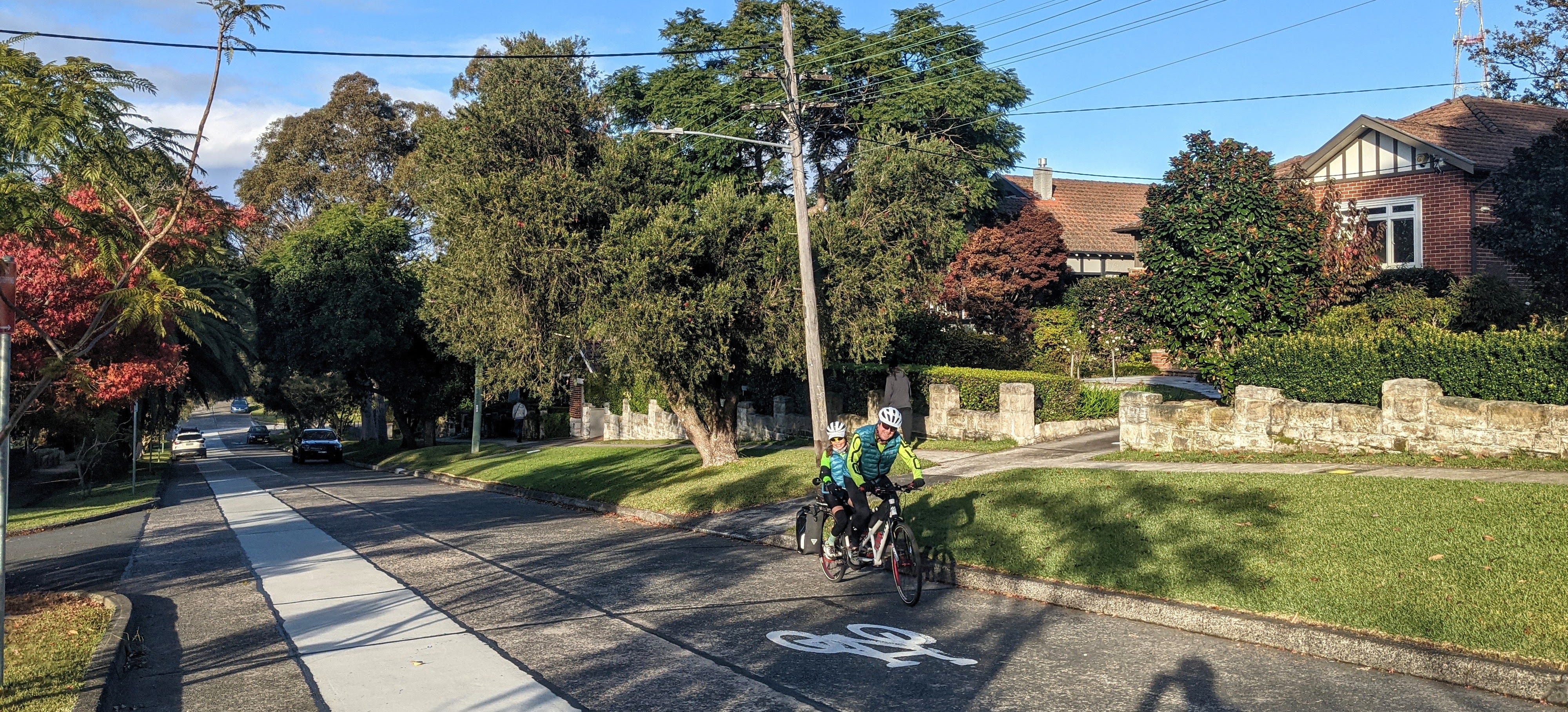
Once across Mowbray Road, you’ll start heading down the hill quite fast. Pay close attention here because this is the easiest spot to lose your way: ignore the cycling sign directing you down Stafford Road, and do not turn left into Stewart Street. Instead, look out for the bicycle marking painted directly on the road surface at Shepherd Road directing you left. Take two straights past some lovely heritage houses, turn into Weeden Road, and 150 metres down you’ll reach one of Sydney’s genuine cycling treats: Cordia Way.
Tunnels & Freeway Junctions: Cordia Way to the Gore Hill Freeway Underpass
Cordia Way winds between suburban backyards all the way down to the Artarmon Reserve playground. Roll around the reserve, and you will come right up to the roaring lanes of the M1 Gore Hill Freeway.
Cruising along the tree-lined Cordia Way shared path past local backyards
Underneath the freeway, you’ll hit a fork in the path where you are completely covered by the motorway underpass. Going west takes you onto the Epping Road cycleway (Ride 33). For Ride 26, we head east under the freeway. The path alternates through here between single walking lanes and two-lane cycle paths, so keep your wits about you as the layout changes.
Creek Lines & Bush Turkeys: Flat Rock Creek to Flat Rock Drive
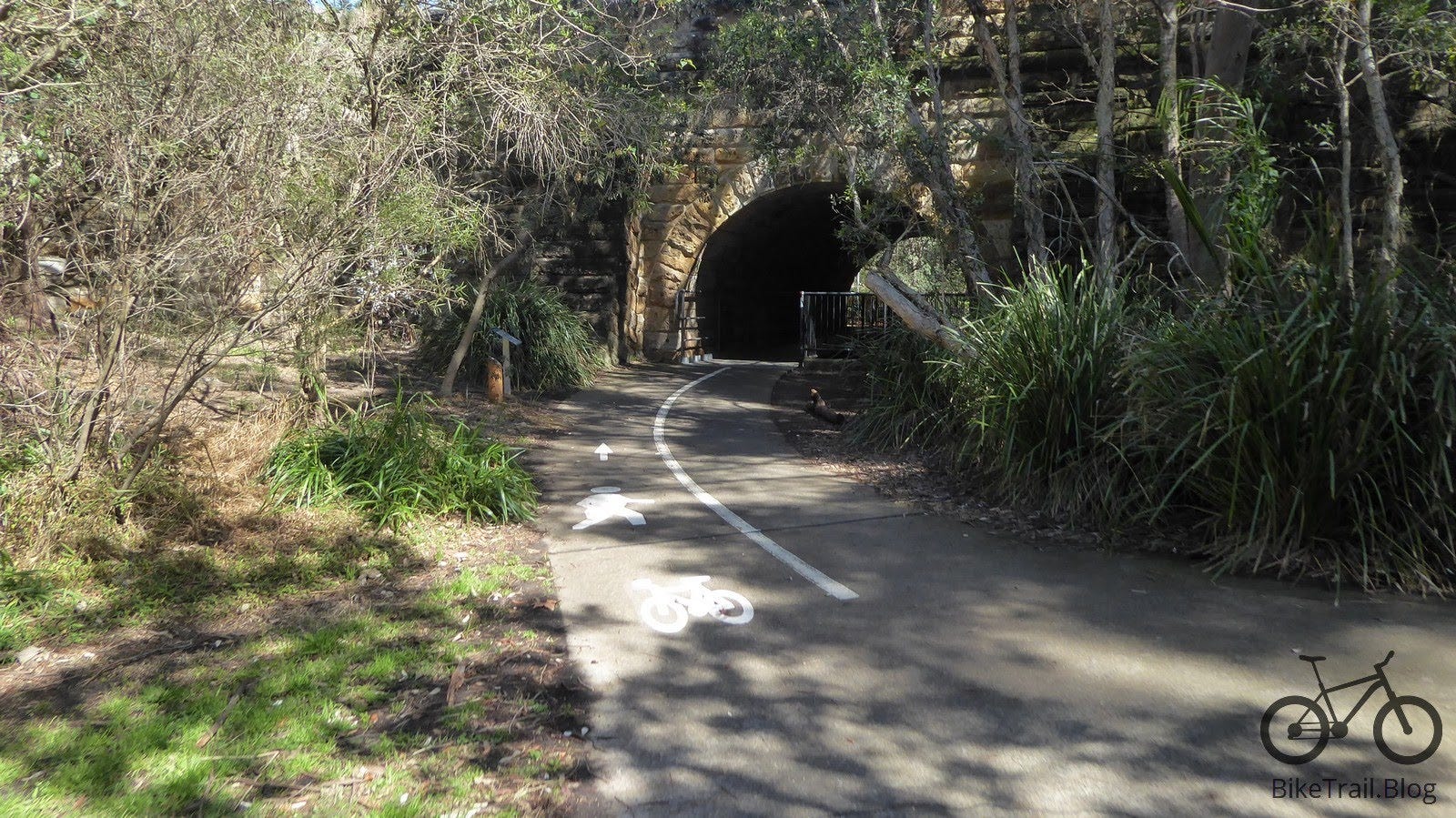
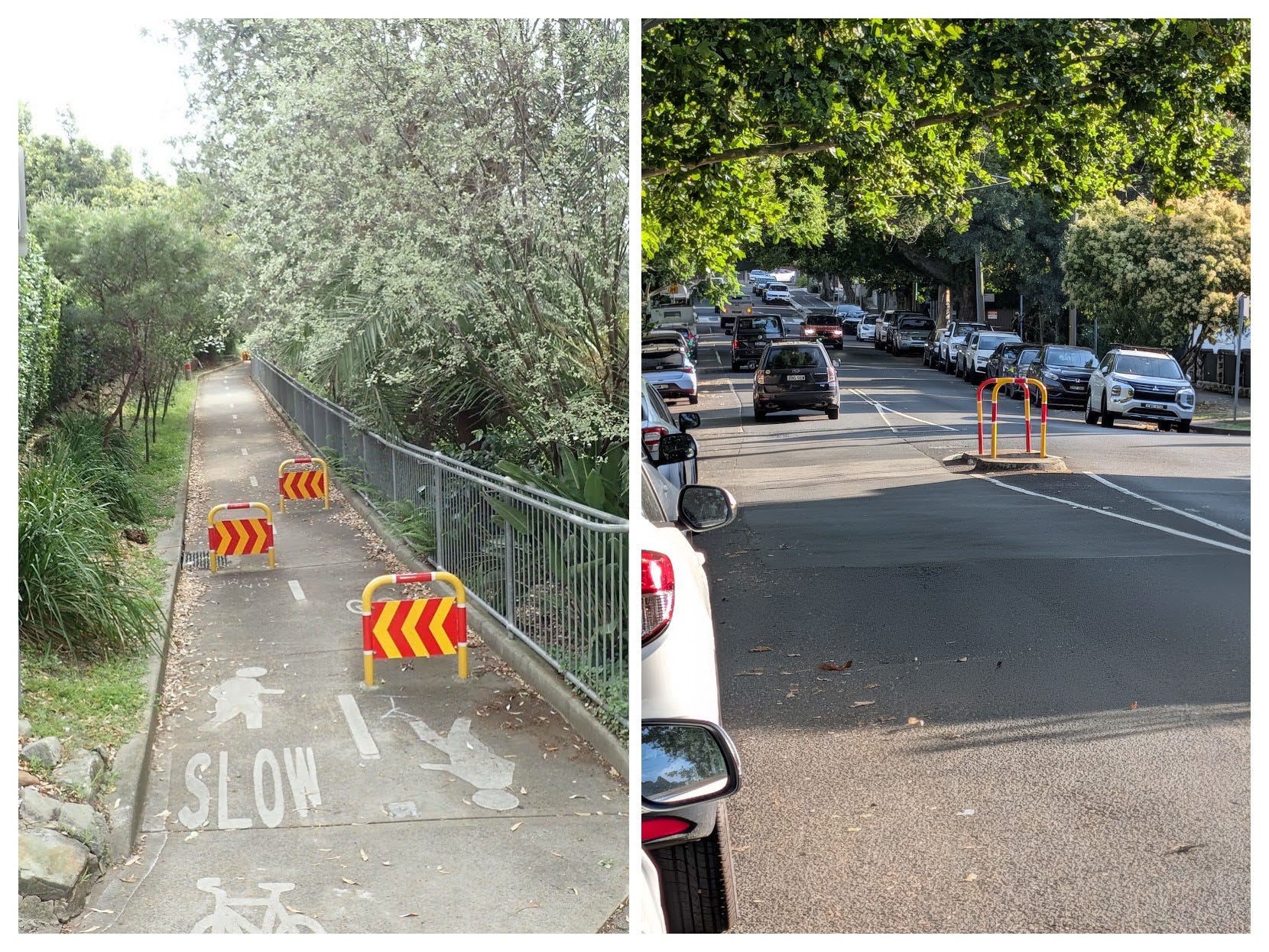
Coming up to a cluster of bollards, bypass the foot track heading east and roll straight ahead onto the Flat Rock Creek cycleway, passing under Willoughby Road.
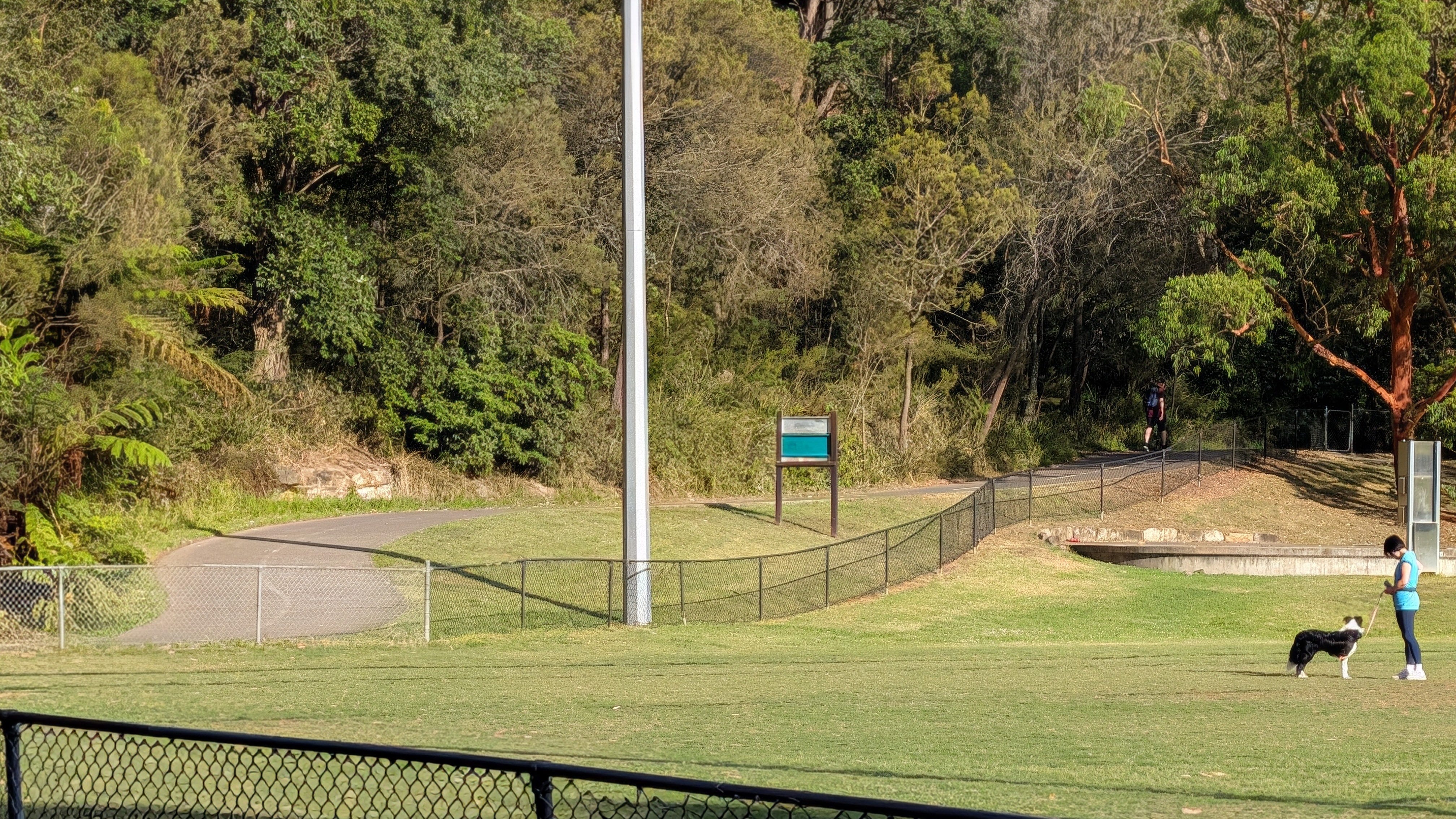
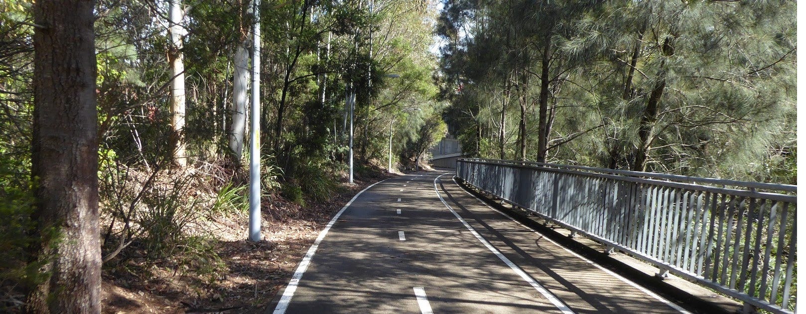
This stretch keeps you completely separated from car traffic. Keep an eye on the elevated ground up to your left—you might even spot the occasional bush turkey foraging in the scrub. Continue along the path through the tunnel under Flat Rock Drive, which features local Flat Rock artwork and a route map.
Flat Rock Creek cycleway passing under the Willoughby Road bridgeThe Bridge Viewpoint & Palmer Street: Flat Rock Gully to West Street
Emerging from the tunnel, head south towards Market Street, Dawson Street, and West Street. Just before you hit the end of the road, look out to the east for one of the absolute best photo opportunities on the North Shore: a magnificent view looking towards Long Gully Bridge.
From there, head up through the bollards and up a short lane to Palmer Street. Follow the council bike route signs for two blocks until you meet West Street. This is steep, sorry in advance.
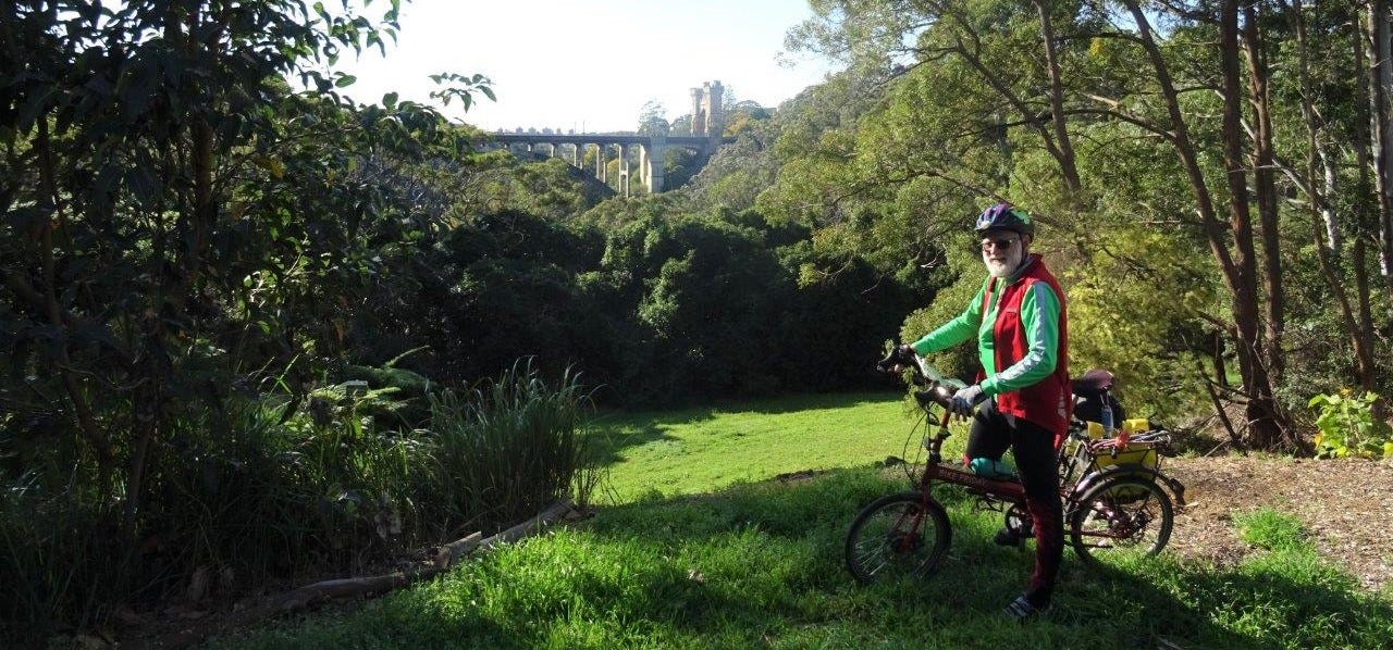
Long Gully Bridge has an incredible history. It was built in 1892, almost rusted to bits and then became a suspension bridge without suspenders. Read on here
The West Street Commuter Stretch: West Street into North Sydney
West Street is a 2 km stretch that takes us all the way into North Sydney. While it can get a little busy, it is a staple for North Sydney riders because it is wide, straight, and gives drivers plenty of visibility to see cyclists clearly. The slight bend near North Sydney helps you bypass the main commercial shopfronts.
Follow West Street across major intersections at Ernest Street and Falcon Street. Pass Ridge Street, where a shared path branches off to the left across the park. We finish Ride 26 with a final 100-metre shared path on the left in North Sydney, giving you a moment to gather your wits before connecting through to the Harbour Bridge ramp.
Local History & Community Champions
📜 The Story of Cordia Way: Grassroots Power in Action
What is today a leafy, peaceful 789-metre multi-use path was originally nothing more than a concrete urban stormwater drain and neglected creek bed. The transformation of this concrete canal into a tree-lined sanctuary stands as one of the finest examples of grassroots transport activism on Sydney’s North Shore.
We owe a debt of gratitude to local champions Maylean Jessie Cordia and Captain Pieter Cornelius Cordia. They formed the City of Willoughby Pedestrians Association and campaigned fiercely to reclaim the drain into a safe, continuous green link connecting directly into Artarmon Reserve. For their tireless work, both Maylean and Pieter were awarded Order of Australia Medals (OAM) in 2005, and Willoughby City Council officially named Cordia Way in their honour in 2007.
What makes Cordia Way special was the unity between different user groups. The Willoughby Pedestrians Association joined hands with local cyclists from the North Shore Bicycle Group (which later evolved into Bike North). Rather than competing for space, walkers and riders united under a single advocacy banner to prove that active transport pathways benefit the entire community. The Greenway and Johnston Creek are examples that have followed.
📜 The Gore Hill Motorway Cycleway: A Masterclass in Advocacy & Engineering
Riding seamlessly beneath the roaring lanes of the M1 Gore Hill Freeway feels effortless today, but getting grade-separated cycle paths built alongside major freeways didn’t happen by accident.
We have our state peak advocacy body, Bicycle NSW, to thank for creating the strategic macro-blueprints that turn highway margins, rail corridors, and creek easements into connected cycling networks across New South Wales.
On the ground, local champions Bike North (established in 1996) scaled up regional advocacy during major motorway developments. When the 2007 Lane Cove Tunnel and M1 expansion projects were on the drafting table, Bike North worked tirelessly with transport authorities to ensure dedicated, grade-separated cycle underpasses were designed directly into the infrastructure. Thanks to their foresight, cyclists on Ride 26 can glide safely under heavy freeway traffic, connecting the 📹Epping Road Cycleway (Ride 33) straight into the tranquil green canopy of Flat Rock Gully.
💡 Garry’s Ride 26 Tips
Tricky Navigation: Keep your eyes peeled after Mowbray Road! The official council sign at Stafford Road is misleading—make sure you wait for the Shepherd Road road-marking to turn left onto Weeden Road.
Commuter Advice: If you’re new to West Street, take your time and observe experienced commuters—they often know the best lines and signal timing through the North Sydney grid.
🚲 This ride is on the Greater Sydney Bike Trail
