

A quirky urban connect-the-dots along the T3 Metro alignment followed by backstreet contraflows, giant red concrete couches, colourful exhaust stacks, and a family focussed dog filled park. Starts at The Greenway
The Ride at a Glance
This roughly 8 km ride connects the Greenway at Dulwich Hill through to Harley St in Alexandria, where it links up with City Ride 9 and City Ride 5 in adjacent Belmont St. It’s a mix of quiet backstreets, short off-road shared paths, and protected cycleways.
Let’s be honest: Ride 24 is not a scintillating, holiday-pampered shared path. It’s an urban explore — a functional, slightly rough-around-the-edges placeholder ride that pieces together backstreets, rail corridors, and short suburban path segments while the Bankstown Line conversion to Metro continues. As the crow flys, this ride is a shorter way to get to Sydenham and Alexandria than the standard Cooks River and airport offerings. You will need to be a lover of street art and bumps and grinds to see you thru.
In RideWithGPS: The Cooks Collection and Ride 24 by itself
On the CycleSydney Map - Find the Metro blue Ride on the railway line
Dulwich Hill to Marrickville Station
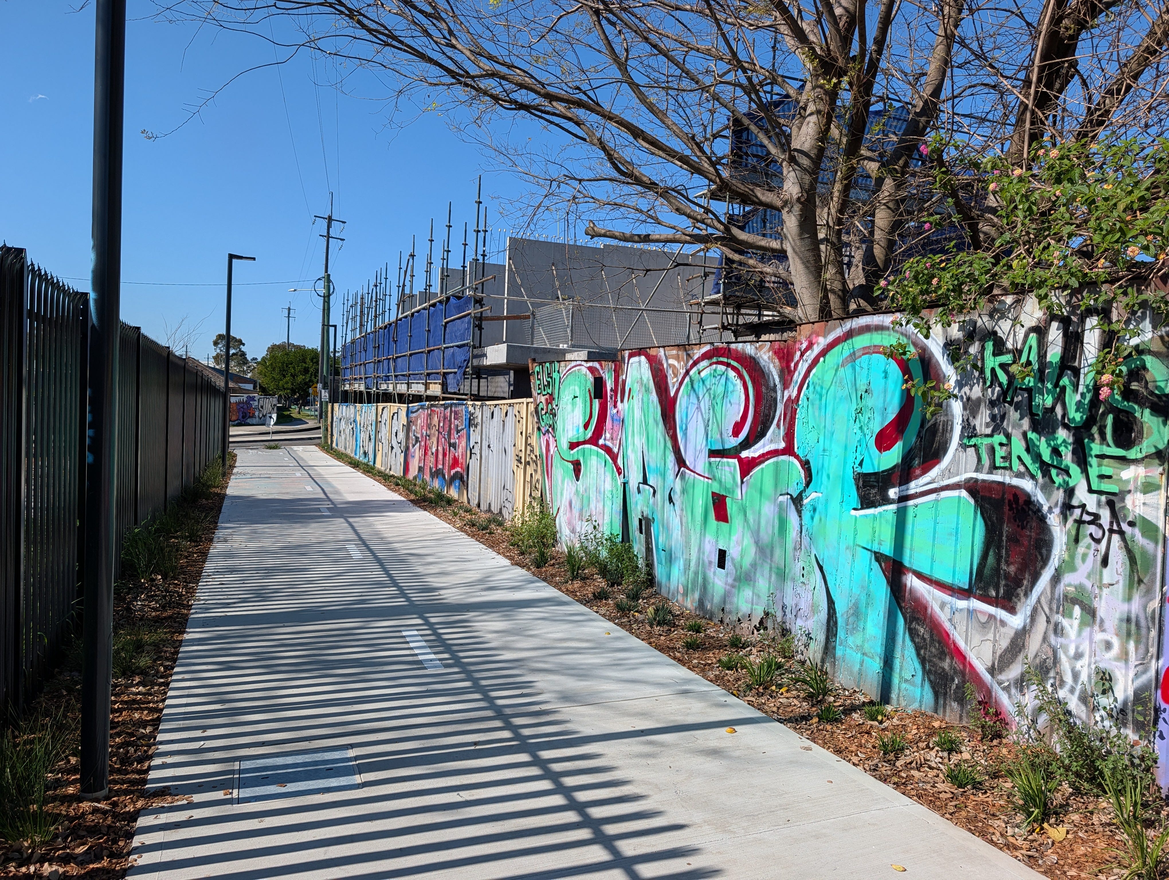
Starting out at the Greenway junction near Hess Avenue in Dulwich Hill, roll down Ewart st to Bayley Street. Here you pick up the compact shared path running right along the fence of the Metro rail corridor. Keep an eye out for local street art along the fence line, including the “Under the Sea” mural just before Albemarle Street.
At Albemarle Street, near the local cafe, swing onto Moncur Street and cut through the quiet laneway at McNeilly Park. This brings you out near Marrickville Station. If you need a pitstop, Hellenic Patisserie is right here for gelato or pastries after making the slightly awkward road crossing.
Marrickville Station to Marrickville Road
From Marrickville Station, head down toward Marrickville Metro along the newly upgraded shared path running alongside the rail corridor. Cross carefully over Victoria Road, go underneath the railway underpass, and follow the track along the edge of Victoria Road.
Turn onto Meeks Road, pick up the modest off-road cycleway, and follow Sydenham Lane out onto Marrickville Road.

Sydenham Station
From Marrickville Road, pink cycle signs guide you toward Sydenham Station. If you want to bypass the station congestion entirely, stay on the right-hand side on the footpath to pass the station without squeezing through the main entrance area. Sorry you will need to work this out yourself, hard to explain.
For multi-modal commuters, Sydenham Station features a secure, enclosed Opal-card bike park on its western side with space for roughly two hundred bicycles. Bringing a bike onto peak-hour trains or the Metro can still be a squeeze around eight in the morning but can work other times of day. Ask questions on this Facebook Page

Sydenham Green to Princes Highway
Cross the road bridge over the tracks onto Burrows Avenue and turn down George Street, which leads into Sydenham Green. The park is best known to locals for housing a massive 5 metre red concrete sofa, easily one of the stranger photo spots in the Inner West. The planes overhead are a novelty that quickly wears off.
From George Street, head northeast across Henry Street to Grove Street, and Bakers Lane. (You are 700m from the cool pump track in Camdenville Park). Extra care is needed through these intersections, as none of the cross streets give priority to cyclists, meaning you should be prepared to yield at every corner. Pick up the short contraflow bike path on Mary Street to reach the Princes Highway.
Highway Crossing to St Peters Interchange
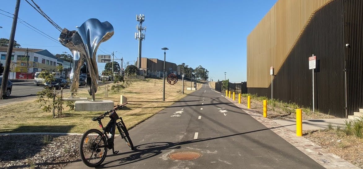
Push-button access at the highway can be awkward. Cross the highway into the St Peters M8 Interchange, where you’ll pass the distinctive large silver artwork and the brightly painted, colourful exhaust stacks for the underground motorways.
To your right sits St Peters Peak, an artificial hill formed from WestConnex tunnel spoil. Originally promised as a public parkland lookout, it was found to be contaminated with asbestos and has remained fenced off for many years.
Sydney Park to Alexandria
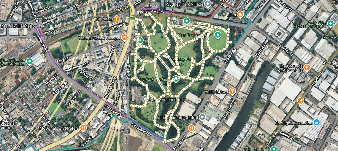
Once across, take the Campbell Street cycleway east for a couple of hundred metres and follow the path up the eastern edge of Sydney Park alongside Houston Road. On busy Saturday mornings this section gets heavily congested with dog walkers, so adopting the generally empty wide footpath along Houston Road is often the calmer choice.
At the corner of Houston Road and Sydney Park Road, cross at the pedestrian signals onto Huntley Street and swing onto Lawrence Street. Follow Lawrence down to Harley Street, where this Cooks Ride 24 joins City Ride 9.
The Verdict
Ride 24 isn’t about romantic rail-trail scenery — it’s a practical Inner West connector. While we wait for the state government to deliver a continuous, high-quality linear park along the Bankstown Metro corridor, this mixture of backstreets, contraflows, and piecemeal cycleways remains the authors favourite way to navigate from Dulwich Hill through to Sydney Park. See the ride with pictures in 3D in the video below.
📍 Ride safe: These maps are just digital breadcrumbs from my personal rides. Infrastructure changes, so trust your eyes over the screen. Disclaimer and About page