

Watch the video below to get you into the vibes of North Sydney cycling. 📹 Watched it? You get the drift. You come off the wonderful Sydney Harbour Bridge ramp, high on the joy of its world-class design, and then... you hit North Sydney. Confused, you ride on, slipping slowly into the black hole—a gravitational trap of Pacific Highway traffic or the steep hills near North Sydney station. Where is the cycling infra? What do I do? 🤔 Don’t fret, I’ve ridden through the area time and time again and I still remain underwhelmed. Let's find ways to get enthused or jump to the Nth Sydney nitti gritti here 🚲
Before we get sucked into North Sydney, lets have a look at near by cycling options to get you interested.
St Leonards Park to Primrose Park
This is the best of the cycle infrastructure paths around North Sydney. It starts at the corner of Ridge Rd and heads east across St Leonards Park, across the Gore Hill Freeway on a cycle bridge and down through Neutral Bay to Bennelong Rd. This is where the road bike trail to The Spit Bridge starts.
📍You will find the path in green here as part of Ride 57 (a story for another day) >>
on RideWithGPS in the North Side collection here
This include the Falcon St Bridge which was lauded by Engineers by not given a big hug by Cycling Infra folks as it simply replaced an existing bridge and a whole bunch of infra money achieved SFA.
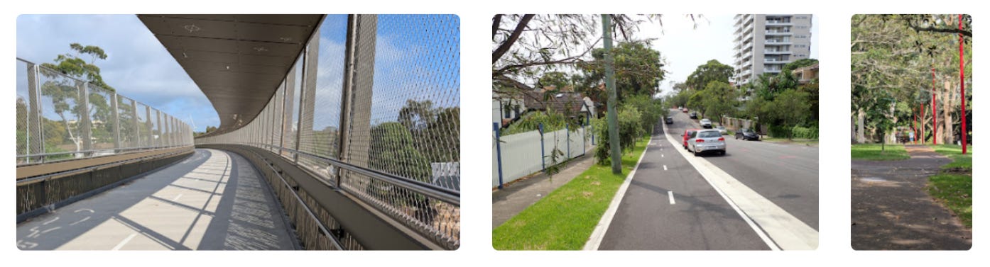
Getting from the Bridge to the Epping Rd Cycleway
You will see numerous signs with bikes on them pointing to North Sydney and Neutral Bay as you ride around North Sydney. I haven’t included them on my maps as they end up in busy places and roads.
The main purpose of riding through North Sydney is likely to get to the bike trail that starts near the Long Gully bridge. I found that heading just west of North Sydney on Edward St and West St was the best solution. There are a couple of one way roads in the south and they are shown here in black >>
📹 Falcon Street and Ridge St bridges Over the M1 Here »
The real treat is Cordia Way and Flat Rock Gully. That is all written up here. It is 2.5km north of North Sydney up West St but worth the effort.
Ride 26: Chatswood to North Sydney

This is a classic North Shore ride that starts up in Chatswood and weaves its way down through hidden rail trails, quiet residential backstreets, and green parklands before tackling the climb out of Flat Rock Gully into North Sydney. We’re actively avoiding the worst of the main road traffic by utilizing dedicated cycleways, underpasses, and community-w…
Other Sights: First 5 photos are from a journey from North Sydney Oval to Kirribilli and the last four from West St on-road to Flat Rock Gully.


There is more information about the Lane Area here
https://www.cyclesydney.com/t/lc
Finally, if you don’t like going on-road up the Pacific Highway - there is this ride on shared paths that Starts near St Leonards.
So How Do You Actually Get Around North Sydney ?
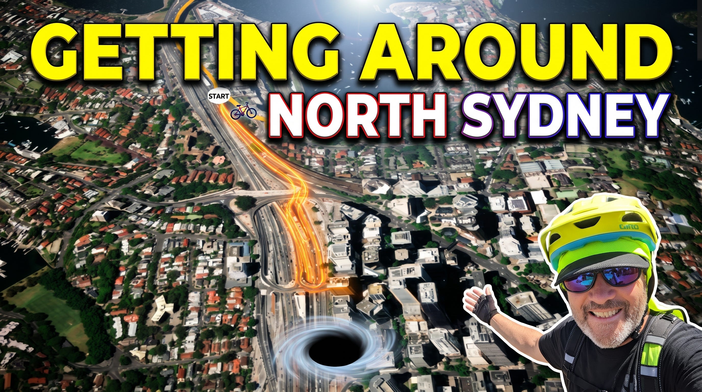
First up I asked folks on my 5000 readers strong CycleSydney Facebook Page - Then I made this video. Watch the video and riders conclusively said, go up Middlemiss St and head onto the footpath alongside the Pacific Highway. Watch the video, you decide if that is ok for you. I recommend Sunday morning early to practice.
Ok - You are still here. Below is your CycleSydney map of North Sydney that is short of information (black 🕳️) for reasons stated above. The Orange Arrow points to the SHB ramp to Milsons Point. Try Lavender St (lavender coloured arrow) if you don’t like the Pacific Highway footpath option then go north on the very steep one way William St. Heading south from West St, go Miller St and Blues Point Rd to Lavender St.
Sometimes I just get off my bike and walk thru the park (red arrow) to MacKenzie St (one way West to East) and down to Middlemiss St. Summing up, watch others, keep checking your map and improving till you find a track you like.

And a couple of extra tips for Paid Subscribers follows.