
Unlocking Sydney’s "Hidden" Cycling Layer: MTB, Pump Tracks, and Local Gems
MTB, Pump Tracks, and Local Gems and Parking for Supporters

We’ve spent a lot of time mapping the best separated cycleways and commuter routes, but there is an entire “hidden” side to our CycleSydney map that we mostly leave turned off by default.
This layer is packed with the practical stuff: where to park your car to start a ride, where to find the best historic sights, and where to take the kids for some off-road fun. Here is what we’ve included beyond the local pools which we feature when tomorrow is going to be 35 degrees hot ☀️.
For the Thrill-Seekers and Families
If you’re looking for something a bit more rugged than a smooth cycleway, we’ve mapped out the best dirt and pump tracks across the city:
MTB Parks: Major hubs like Bare Creek in Belrose and Wylde in Western Sydney Parklands are detailed with current entry info.
Pump Tracks: We have a growing list of tar and gravel tracks, including the “epic” Kirkham Park (named Pump Track of the Year) , St Peters at Camdenville Oval , and the three-track facility at Haslams in Olympic Park.
Kids’ Tracks: For the little ones, we’ve highlighted spots like Wangal Park, the Meadowbank bike track , and the Bicycle Education Centre in Campbelltown
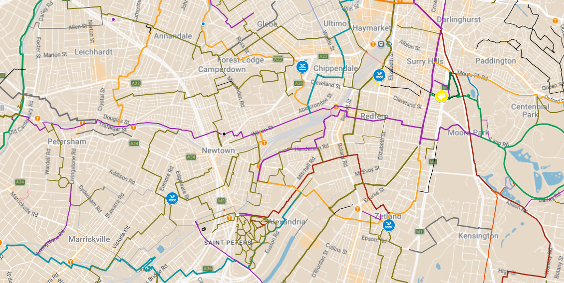
Find the MTB, Pump tracks in the legend on the left on a PC
History and Sights Along the Way
We love a ride that ends with a bit of culture or a great view. This layer points out:
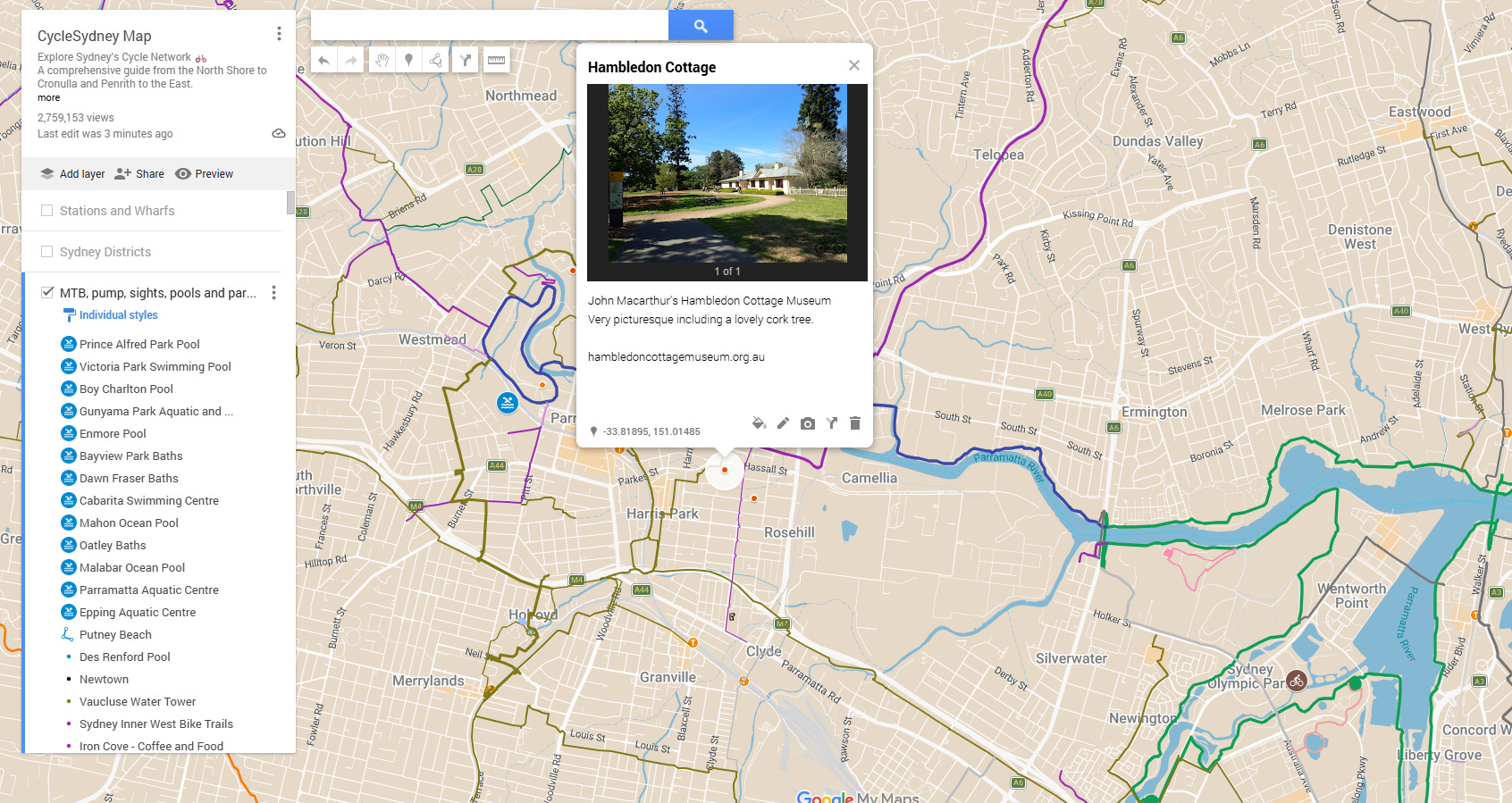
Historic Houses: Take a detour to Old Government House , Elizabeth Farm , or the picturesque Hambledon Cottage.
Engineering Marvels: Look out for the Johnstons Creek Aqueduct, Australia’s first reinforced concrete structure.
Viewpoints: We’ve marked the best aerial views, such as the lookout over Barangaroo from High Street and the high point at Vaucluse Water Tower.
On a phone, the Legend is a link once you click on a feature in the map
How to Turn This Layer On
Because there is so much information, we usually keep this layer “hidden” so the main map stays clean. Here is how we can enable it:
Open the CycleSydney Map: Access the main Google My Maps link on your phone or desktop.
Open the Legend: Click the “View Map Legend” or sidebar icon (usually on the left).
Find the Layer: Scroll down until you see the layer titled: “MTB, pump, sights, pools and parking”.
Check the Box: Simply click the checkbox next to the title. All the icons for pump tracks, historic sites, and parking will immediately appear on your map.
Pro Tip: If the map starts looking too crowded, just uncheck it again to go back to the basic route view!
Now we get into the parking spots. We wouldn’t want those to get too busy ….
