

Subject: Formal Community Proposal & Infrastructure Design Guidance for the Greater Sydney Bike Trail (GSBT)
Date: April 15, 2026
1. Executive Summary: The 220km Vision
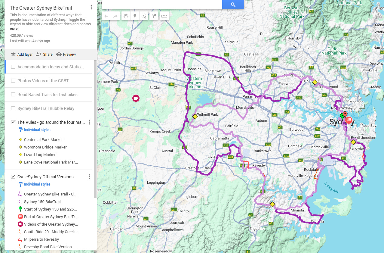
The Greater Sydney Bike Trail (GSBT) is an under-recognised asset—a 220km continuous loop that defines the geography of our city. Rather than a future project requiring full construction, the GSBT is a largely complete circuit where 85% of the infrastructure is already delivered via high-quality shared paths and dedicated cycleways. The remaining sections utilize functional on-road connections that are already being navigated by a growing community of riders.
At 220km, the GSBT outscales international benchmarks like the Stelling van Amsterdam (170km) and the Berlin Wall Trail (160km). With over 750 riders already completing or attempting the circuit, the appetite for this experience is established. We believe local councils along the GSBT would welcome targeted assistance to maintain or upgrade existing paths that form part of this prestigious loop.
2. Rivers, Bays, and an Insight into Our Massive, Diverse City
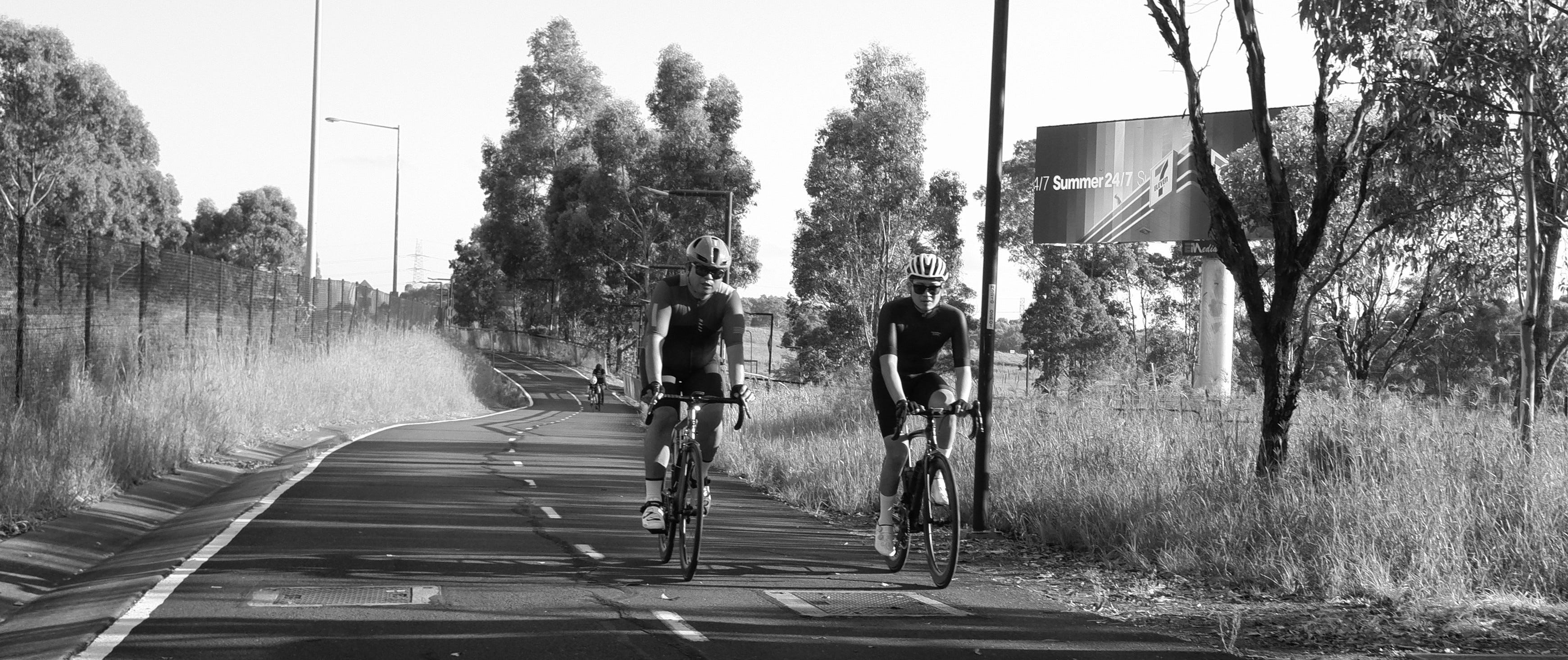
The trail’s strength lies in its ability to link Sydney’s vast geography into one continuous journey. The route is defined by the rivers and bays that give the city its soul, moving from the lush Parramatta and Georges River valleys to the sweeping vistas of the coastal south. Along the way, the trail passes through established cycling meccas like Centennial Park, the M7 Cycleway, Lane Cove National Park, and La Perouse, which act as massive drawcards for thousands of riders every weekend. These hubs serve as the trail’s anchors, culminating in a world-famous finish at the Sydney Harbour Bridge and the Opera House.
3. High-Impact Connectivity Opportunities
To maximize the value of this existing asset, we have identified three priority areas where targeted design assistance will provide immediate returns for both the local community and the continuity of the loop:
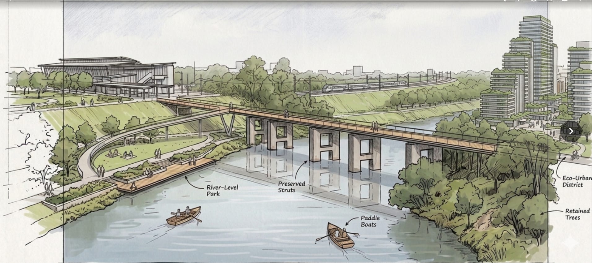
The Liverpool-Casula Link: This is a major opportunity to transform the neglected riverfront parkland along the Georges River into a marquee segment of the GSBT. By leveraging existing bridge supports, a seamless connection can be established between Liverpool Station, Haigh Park, and the Papermill. Much of this exists but lacks focus that would come from an over weir connection and maybe a lift to the station.
The North Sydney nightmare: Addressing the current fragmentation in North Sydney will create an intuitive, world-class approach to the Harbour Bridge, ensuring the “final mile” of the loop matches the quality of the regional network.
Lane Cove NP Approaches: We suggest a clearer definition of the on-road corridor from Shrimptons Creek and a protected transit zone on the steepest part of the climb from Lane Cove National Park up Fullers Road towards Chatswood.
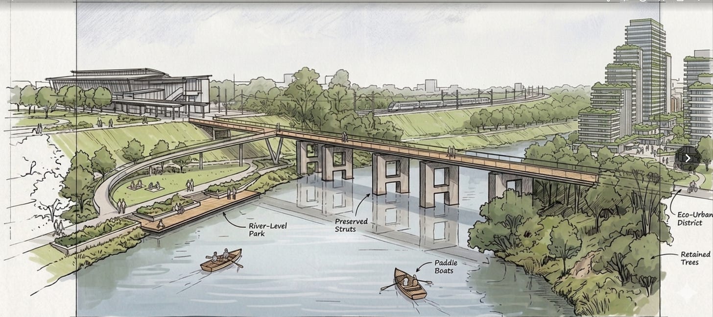
Sketch by CycleSydney Liverpool Weir connecting to Chipping Norton 
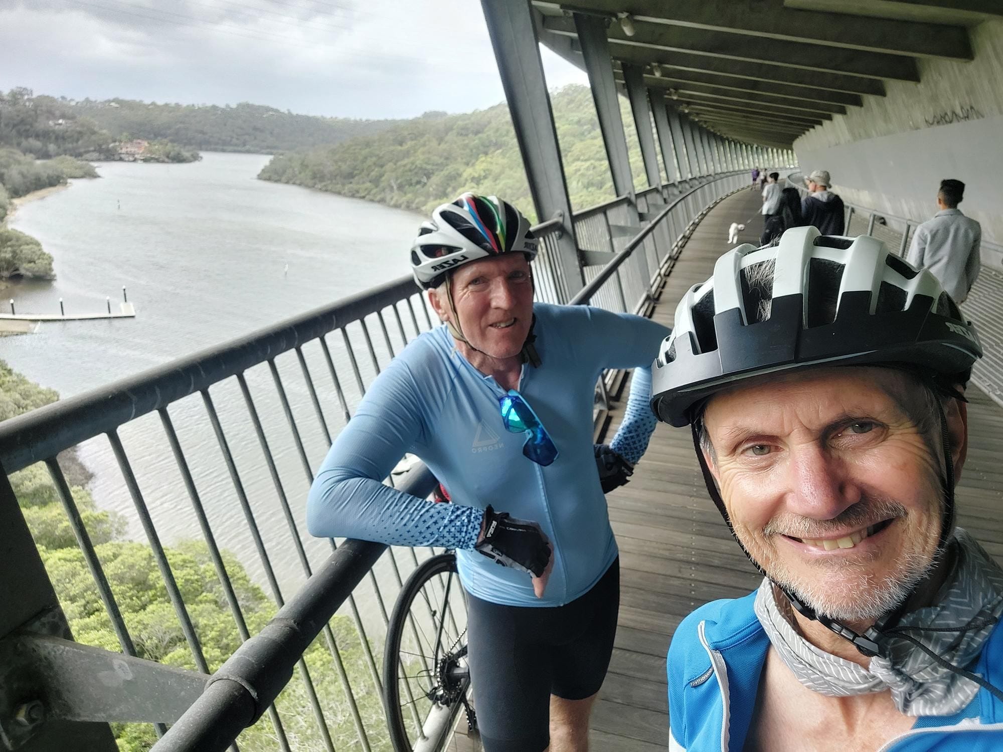
John and David - Early Loopers at the amazing Woronora Bridge in 2022
4. User Experience & Community Advocacy
The GSBT has achieved significant mainstream recognition, evidenced by a two-page spread in the Sydney Morning Herald, a popular Bicycle NSW feature, and a dedicated article in RideOn Magazine.
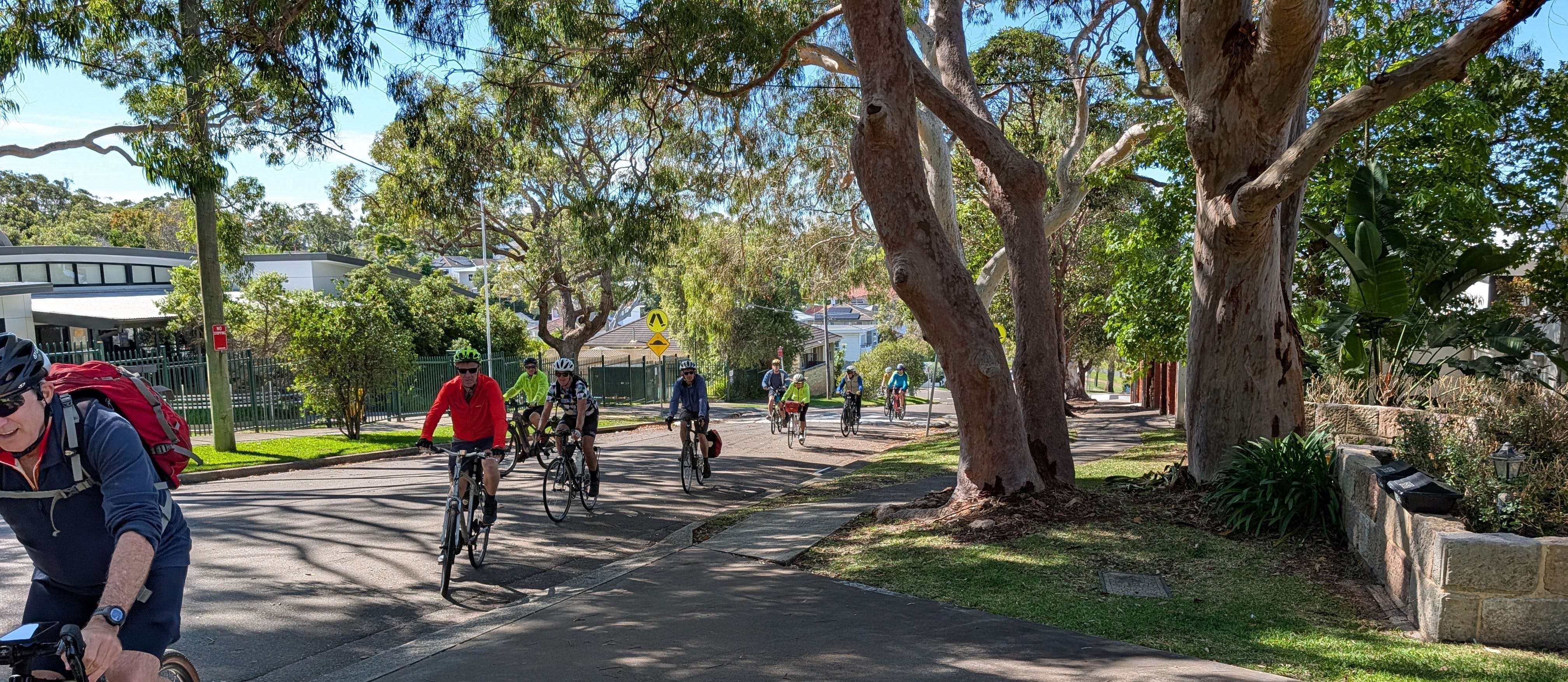
Established advocacy groups like Bike North, Western Sydney Cycling Network, and Bike Leichhardt—leveraging the 4,500-strong GSBT Facebook community—provide the "ground truth" to accelerate formal planning. By leveraging these networks as a primary data source and live consultation platform, Government can streamline discovery and reduce consultancy costs through pre-verified site insights and deep local stakeholder knowledge.
5. Multi-Modal Integration & Economic Impact
The GSBT is uniquely positioned as a high-access “segmented” loop. Frequent intersections with heavy rail and metro networks—specifically at hubs like Wolli Creek, Revesby, Glenfield and Bella Vista Metro—allow the 220km journey to be completed in manageable stages, maximizing accessibility for a wide demographic of riders.
Drawing on performance data from successful regional rail-trails, formalizing the GSBT will act as a consistent economic stimulus for local hospitality along the route. We have already seen this in practice, with hotels in Tempe and Cabramatta being utilized by large cycling groups. Official recognition will serve to convert existing recreational transit into measurable economic activity, supporting local accommodation and "staycation" tourism by providing a world-class urban adventure right on the doorstep of 5 million residents.
6. Strategic Recommendation: A Flagship Project for Sydney and NSW
It is a reasonable expectation that cyclists attracted to regional landmarks, such as the Northern Rivers Rail Trail, will seek equally high-quality options within the state capital. The Greater Sydney Bike Trail is the flagship project to meet this demand and should be championed as the urban centerpiece of NSW’s cycling strategy.
We recommend Bicycle NSW advocate for:
Official Recognition: Formalizing the GSBT as a premier metropolitan loop to bridge the gap between regional rail trails and urban recreation.
Wayfinding & Identity: A coordinated signage program at the primary meccas (Centennial Park, M7, Lane Cove NP, and Taylor Square) to anchor the experience and provide official digital navigation.
Targeted Infrastructure Guidance: Prioritizing design support for high-impact segments—specifically the Liverpool-Casula Link and the Fullers Road climb—to resolve existing friction points through community-led expertise.
By elevating the GSBT alongside regional landmarks, we ensure Sydney and NSW take their rightful place as a premier global cycling attraction.
Supporting Evidence:
The Deep Dive (200km Loop): Josh Kwan’s 13-hour journey
The Everyday Journey: Mike Coles’ Holiday at Home
External description: Bicycle NSW article
Technical Mapping and Links: CycleSydney.com post on the GSBT here.

One Trip - So many world class memories
I live a few hundred m from the steep Fullers Rd section. I’m a Willoughby City Councillor. Recently on road and sign post bike signage for this section was improved. If/when the route gets official status we could possibly look at getting a shared path up that section, as there is further up the hill (busy section). The steep part is not busy, and many may look at pushing their bike up the footpath, as I do.
Great Idea but feel it will take many years to fill in the gaps. Local councils are never very quick to do anything. Always saying we have no money. Because the State Gov does not provide it as a grant to get work done.