Cycling in Sydney City - One Ride at a Time
Rebuilding the map using lots of rides across the city

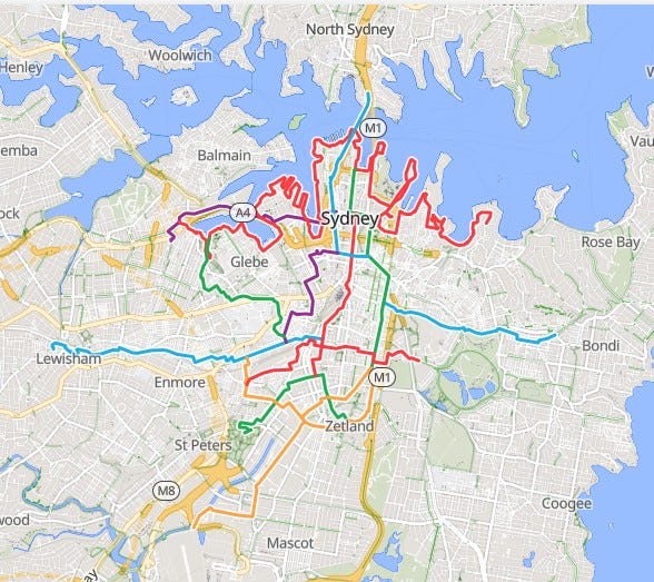
Rather than bamboozle you with the 600 different route options on the Sydney Map from the get go, we are going to explain all the cycling infrastructure across Sydney, one ride at a time. We are also going to put these Rides in a RideWithGPS Collection. Here are the final 4 Rides in the City of Sydney collection
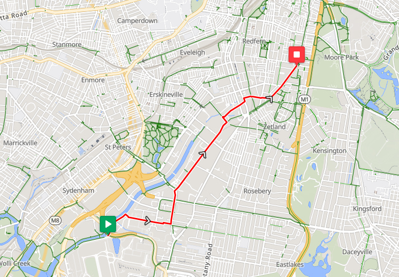
Airport to Bourke St, Waterloo (yellow)
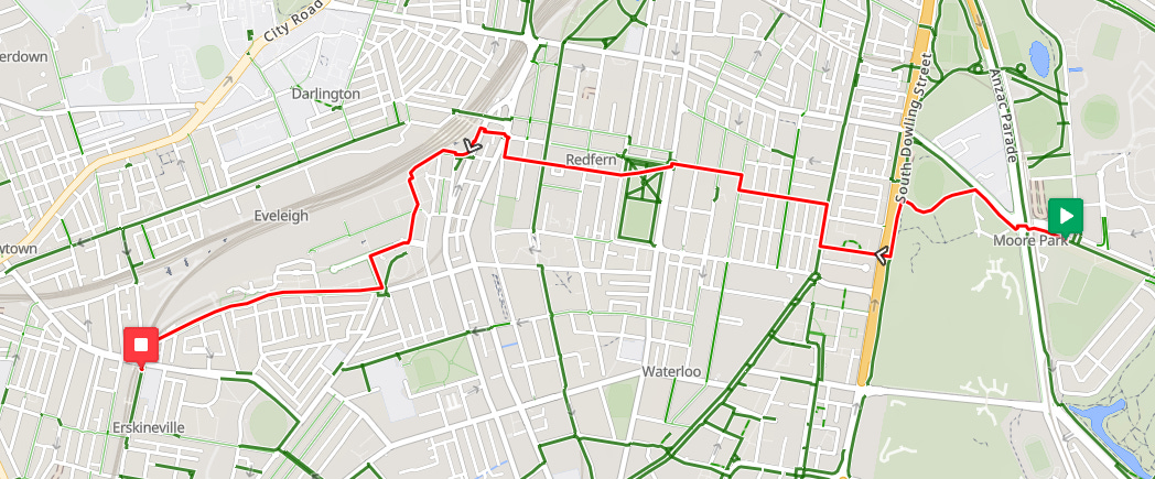
Centennial Park to Erskineville (red)
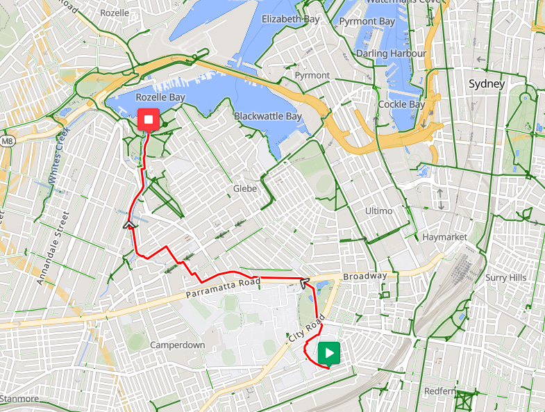
Sydney University to Rozelle Bay (green)
Click here for the City Ride With GPS collection.
Explanations These last three rides lie in an area called City of Sydney which just so happens to be the City of Sydney council boundary. The rides themselves do not have to be exactly inside the boundary, some may initiate outside of the area. The numerical ID of the ride (Ride 7 say) is only for identifying the ride.